
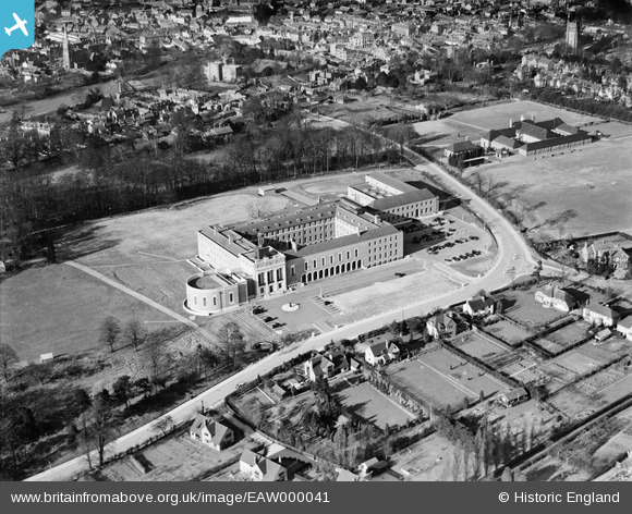
EAW000041 ENGLAND (1946). The County Hall, Hertford, 1946
© Hawlfraint cyfranwyr OpenStreetMap a thrwyddedwyd gan yr OpenStreetMap Foundation. 2025. Trwyddedir y gartograffeg fel CC BY-SA.
Delweddau cyfagos (8)
EAW000041

EAW000042

EAW000044

EAW000043

EAW000040

EAW000039

EAW052996

EAW053075

Manylion
| Pennawd | [EAW000041] The County Hall, Hertford, 1946 |
| Cyfeirnod | EAW000041 |
| Dyddiad | 25-March-1946 |
| Dolen | |
| Enw lle | HERTFORD |
| Plwyf | HERTFORD |
| Ardal | |
| Gwlad | ENGLAND |
| Dwyreiniad / Gogleddiad | 532438, 211997 |
| Hydred / Lledred | -0.07952142602826, 51.790479184488 |
| Cyfeirnod Grid Cenedlaethol | TL324120 |
Pinnau

Matt Aldred edob.mattaldred.com |
Wednesday 17th of March 2021 04:08:55 PM | |

Nick G |
Sunday 20th of October 2013 07:46:55 PM | |
|
Nick G |
Sunday 20th of October 2013 07:46:10 PM | |
|
Nick G |
Sunday 20th of October 2013 07:45:33 PM | |
|
Nick G |
Sunday 20th of October 2013 07:44:23 PM | |
|
Nick G |
Sunday 20th of October 2013 07:44:04 PM | |
|
Nick G |
Sunday 20th of October 2013 07:43:05 PM |