
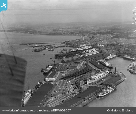
EPW009067 ENGLAND (1923). The Docks and environs, Southampton, from the south-east, 1923
© Copyright OpenStreetMap contributors and licensed by the OpenStreetMap Foundation. 2024. Cartography is licensed as CC BY-SA.
Nearby Images (21)
EPW009067

EPW041071

EAW033432

EPW009064

EPW037412

EPW039724

EAW001345

EAW033414

EAW033411

EAW033409

EAW035242

EPW037411

EAW033430

EPW020456

EPW009068

EAW001369
 in Ocean Dock, Southampton, 1946")
EPW032346

EAW033431

EAW001348

EPW037410

EPW037407

Details
| Title | [EPW009067] The Docks and environs, Southampton, from the south-east, 1923 |
| Reference | EPW009067 |
| Date | 1923 |
| Link | |
| Place name | SOUTHAMPTON |
| Parish | |
| District | |
| Country | ENGLAND |
| Easting / Northing | 442611, 109785 |
| Longitude / Latitude | -1.3941730296071, 50.88542599846 |
| National Grid Reference | SU426098 |
Pins
Be the first to add a comment to this image!