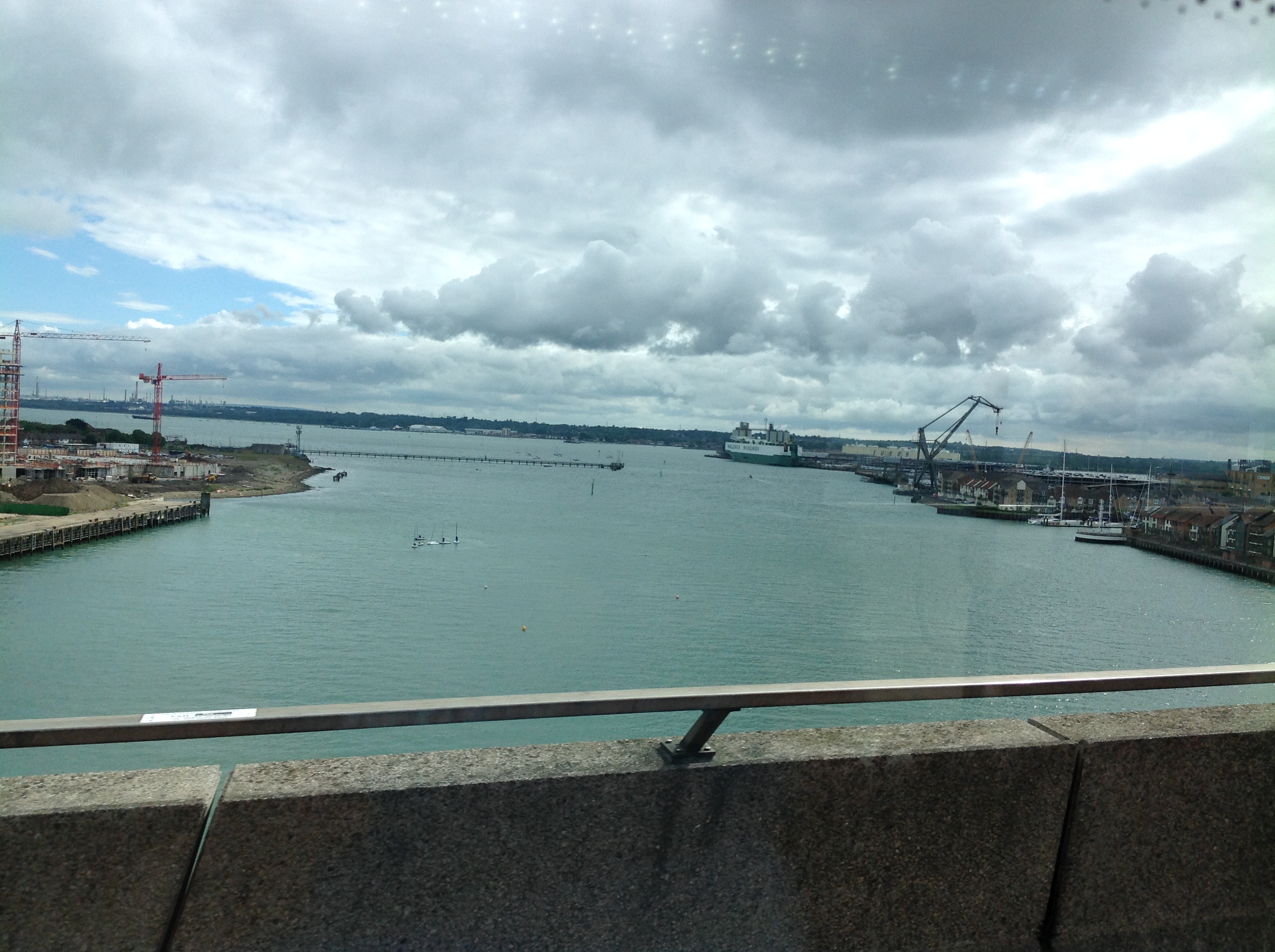
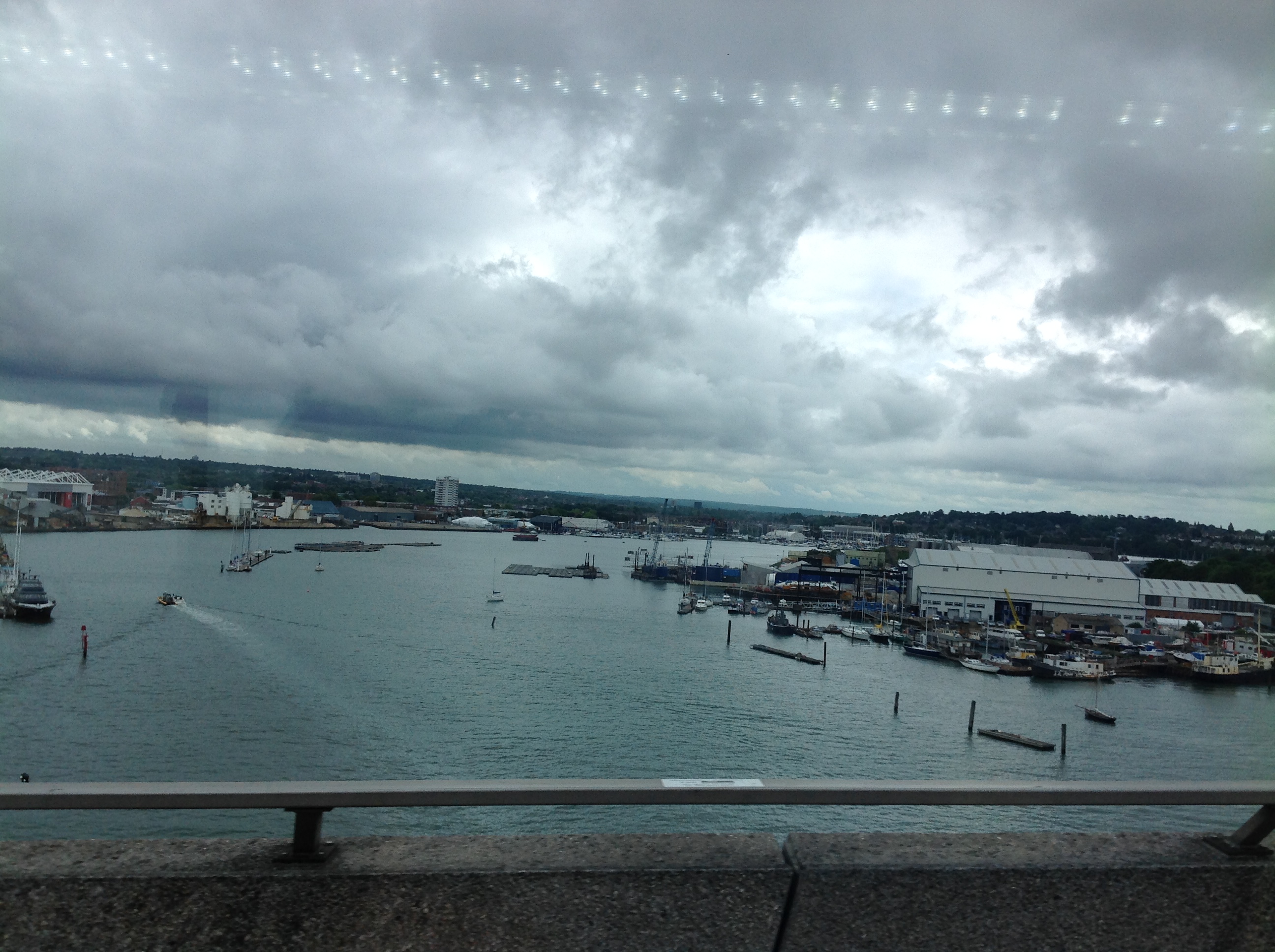
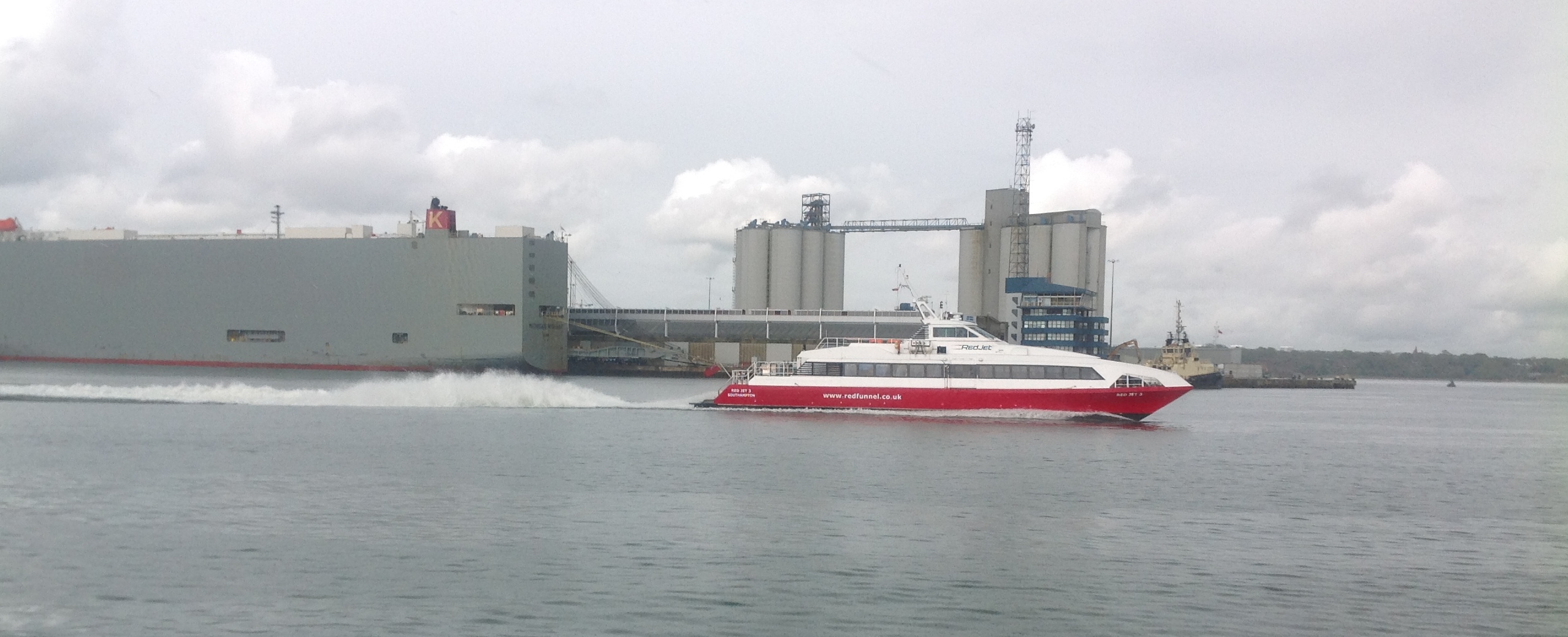
EAW035242 ENGLAND (1951). The docks and the city, Southampton, from the south, 1951

© Copyright OpenStreetMap contributors and licensed by the OpenStreetMap Foundation. 2024. Cartography is licensed as CC BY-SA.
Nearby Images (20)
EAW035242

EAW033430

EAW033409

EPW020456

EAW051596

EAW033408

EAW033431

EPW009068

EPW039726

EAW051595

EPW009064

EPW041071

EAW008807

EPW009067

EAW033432

EPW037410

EPW037412

EPW041068

EPW039724

EAW001345

Details
| Title | [EAW035242] The docks and the city, Southampton, from the south, 1951 |
| Reference | EAW035242 |
| Date | 6-April-1951 |
| Link | |
| Place name | SOUTHAMPTON |
| Parish | |
| District | |
| Country | ENGLAND |
| Easting / Northing | 442667, 109622 |
| Longitude / Latitude | -1.3933959268148, 50.883956013157 |
| National Grid Reference | SU427096 |
Pins
 Class31 |
Saturday 31st of May 2014 07:12:10 AM | |
 |
Class31 |
Saturday 31st of May 2014 07:09:06 AM |
Class31 |
Saturday 31st of May 2014 07:08:02 AM | |
Class31 |
Saturday 31st of May 2014 07:06:05 AM |