
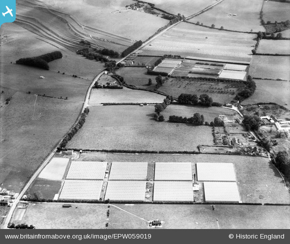
EPW059019 ENGLAND (1938). Nurseries off the A303, Mere, 1938
© Copyright OpenStreetMap contributors and licensed by the OpenStreetMap Foundation. 2026. Cartography is licensed as CC BY-SA.
Nearby Images (9)
EPW059019

EPW059021

EPW059020

EPW059018

EPW059016

EPW059017

EPW058908

EPW058909

EPW058906

Details
| Title | [EPW059019] Nurseries off the A303, Mere, 1938 |
| Reference | EPW059019 |
| Date | 31-August-1938 |
| Link | |
| Place name | MERE |
| Parish | MERE |
| District | |
| Country | ENGLAND |
| Easting / Northing | 382430, 132758 |
| Longitude / Latitude | -2.2509212628431, 51.093331636561 |
| National Grid Reference | ST824328 |
Pins

Class31 |
Monday 26th of August 2013 09:51:22 PM | |
|
Class31 |
Tuesday 13th of August 2013 11:49:16 AM | |
|
Class31 |
Tuesday 13th of August 2013 11:41:59 AM | |
|
Class31 |
Tuesday 13th of August 2013 11:29:52 AM | |
|
Class31 |
Monday 12th of August 2013 01:42:32 PM |

User Comment Contributions
View looking east. |
Class31 |
Tuesday 13th of August 2013 11:51:44 AM |