
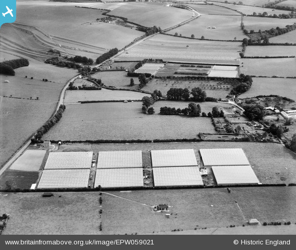
EPW059021 ENGLAND (1938). Nurseries off the A303, Mere, 1938
© Copyright OpenStreetMap contributors and licensed by the OpenStreetMap Foundation. 2026. Cartography is licensed as CC BY-SA.
Nearby Images (7)
EPW059021

EPW059020

EPW059019

EPW059018

EPW059016

EPW059017

EPW058908

Details
| Title | [EPW059021] Nurseries off the A303, Mere, 1938 |
| Reference | EPW059021 |
| Date | 31-August-1938 |
| Link | |
| Place name | MERE |
| Parish | MERE |
| District | |
| Country | ENGLAND |
| Easting / Northing | 382408, 132723 |
| Longitude / Latitude | -2.2512337411986, 51.093016205257 |
| National Grid Reference | ST824327 |
Pins

Class31 |
Tuesday 13th of August 2013 11:50:09 AM | |
|
Class31 |
Tuesday 13th of August 2013 11:43:17 AM | |
|
Class31 |
Tuesday 13th of August 2013 11:30:45 AM | |
|
Class31 |
Tuesday 13th of August 2013 11:21:50 AM | |
|
Class31 |
Tuesday 13th of August 2013 11:09:57 AM |
User Comment Contributions
View looking east. |
Class31 |
Tuesday 13th of August 2013 11:52:41 AM |