
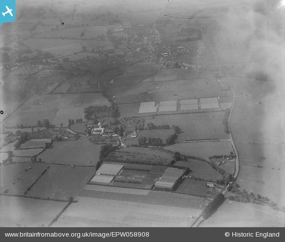
EPW058908 ENGLAND (1938). The Ashwell Gardens Nurseries, Mere, 1938
© Copyright OpenStreetMap contributors and licensed by the OpenStreetMap Foundation. 2026. Cartography is licensed as CC BY-SA.
Nearby Images (7)
EPW058908

EPW059016

EPW059018

EPW059020

EPW059021

EPW059019

EPW059017

Details
| Title | [EPW058908] The Ashwell Gardens Nurseries, Mere, 1938 |
| Reference | EPW058908 |
| Date | 26-August-1938 |
| Link | |
| Place name | MERE |
| Parish | MERE |
| District | |
| Country | ENGLAND |
| Easting / Northing | 382286, 132575 |
| Longitude / Latitude | -2.252968759988, 51.091681477702 |
| National Grid Reference | ST823326 |
Pins
User Comment Contributions
View looking west. |

Class31 |
Tuesday 13th of August 2013 11:53:26 AM |