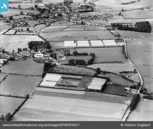
EPW059017 ENGLAND (1938). Nurseries off the A303, Burton and the town, Mere, 1938
© Copyright OpenStreetMap contributors and licensed by the OpenStreetMap Foundation. 2025. Cartography is licensed as CC BY-SA.
Nearby Images (9)
EPW059017

EPW059018

EPW059016

EPW059020

EPW059021

EPW059019

EPW058906

EPW058909

EPW058908

Details
| Title | [EPW059017] Nurseries off the A303, Burton and the town, Mere, 1938 |
| Reference | EPW059017 |
| Date | 31-August-1938 |
| Link | |
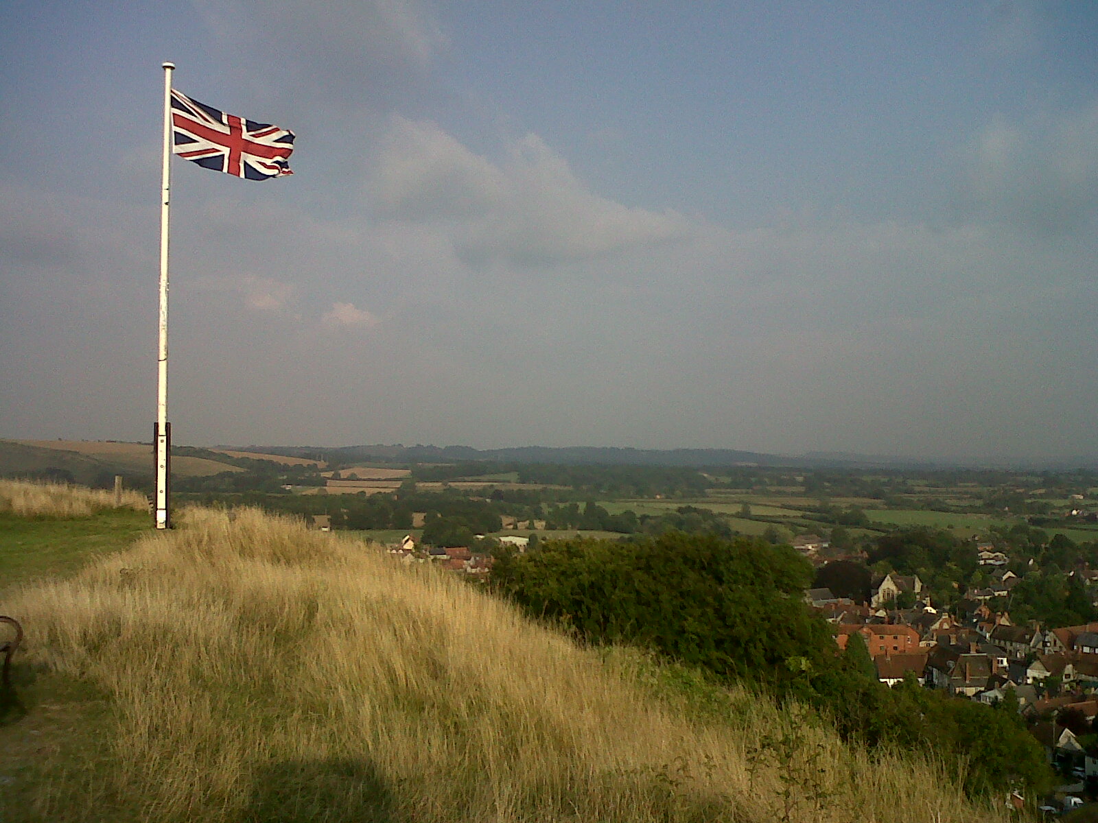
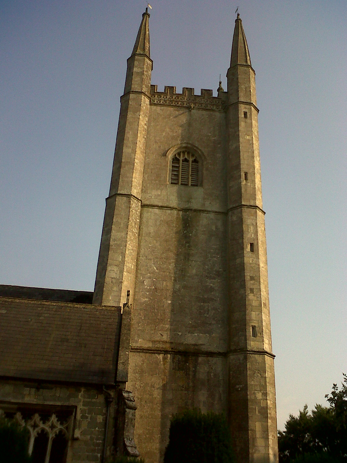
| Place name | MERE |
| Parish | MERE |
| District | |
| Country | ENGLAND |
| Easting / Northing | 382505, 132661 |
| Longitude / Latitude | -2.2498454806682, 51.092461604586 |
| National Grid Reference | ST825327 |
Pins

Class31 |
Monday 26th of August 2013 10:02:32 PM | |
|
Class31 |
Monday 26th of August 2013 09:44:36 PM | |
|
Class31 |
Tuesday 13th of August 2013 11:46:04 AM | |
|
Class31 |
Tuesday 13th of August 2013 11:39:22 AM | |
|
Class31 |
Tuesday 13th of August 2013 11:36:04 AM | |
|
Class31 |
Tuesday 13th of August 2013 11:33:24 AM | |
|
Class31 |
Monday 12th of August 2013 01:40:11 PM |