
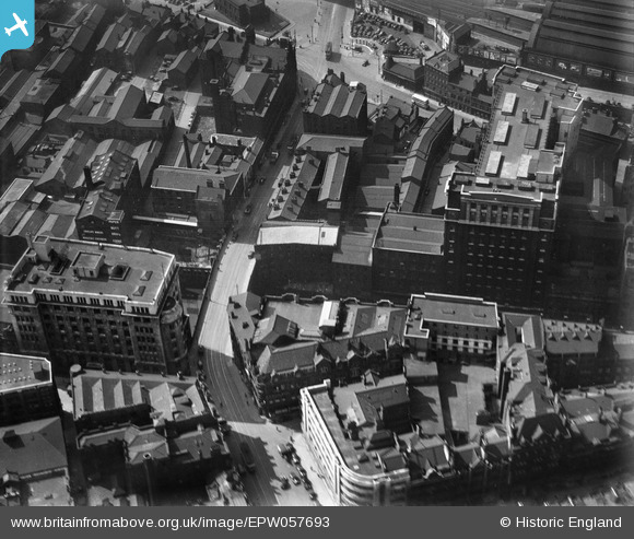
EPW057693 ENGLAND (1938). Blackfriars Street and environs, Salford, 1938
© Copyright OpenStreetMap contributors and licensed by the OpenStreetMap Foundation. 2026. Cartography is licensed as CC BY-SA.
Nearby Images (13)
EPW057693

EPW057692
 and environs, Salford, 1938")
EPW057694
 and environs, Salford, 1938")
EPW057314
 and environs, Salford, 1938")
EPW057315

EPW057317
, Exchange Station and environs, Salford, 1938")
EPW057318
, Exchange Station and environs, Salford, 1938")
EPW057316
 and environs, Manchester, 1938")
EPW057695

EPW019091

EAW016002

EAW016004

EPW019137

Details
| Title | [EPW057693] Blackfriars Street and environs, Salford, 1938 |
| Reference | EPW057693 |
| Date | 17-June-1938 |
| Link | |
| Place name | SALFORD |
| Parish | |
| District | |
| Country | ENGLAND |
| Easting / Northing | 383653, 398625 |
| Longitude / Latitude | -2.2463705344665, 53.483837522949 |
| National Grid Reference | SJ837986 |
Pins
Be the first to add a comment to this image!