
EPW054559 ENGLAND (1937). The Tyne Bridge, Newcastle Swing Bridge and the High Level Bridge, Newcastle upon Tyne, 1937

© Copyright OpenStreetMap contributors and licensed by the OpenStreetMap Foundation. 2026. Cartography is licensed as CC BY-SA.
Nearby Images (21)
EPW054559

EPW048229

EPW048346

EPW020568

EPW025016

EPW054561

EPW019820

EPW048345

EPW020570

EPW048235

EPW048805

EPW020569

EPW025015

EPW048799

EPW048263

EPW010393

EPW048800

EPW048230

EAW405203

EPW048803

EPW019832

Details
| Title | [EPW054559] The Tyne Bridge, Newcastle Swing Bridge and the High Level Bridge, Newcastle upon Tyne, 1937 |
| Reference | EPW054559 |
| Date | 30-July-1937 |
| Link | |
| Place name | NEWCASTLE UPON TYNE |
| Parish | |
| District | |
| Country | ENGLAND |
| Easting / Northing | 425304, 563775 |
| Longitude / Latitude | -1.6047069110353, 54.967878794314 |
| National Grid Reference | NZ253638 |
Pins
Be the first to add a comment to this image!
User Comment Contributions
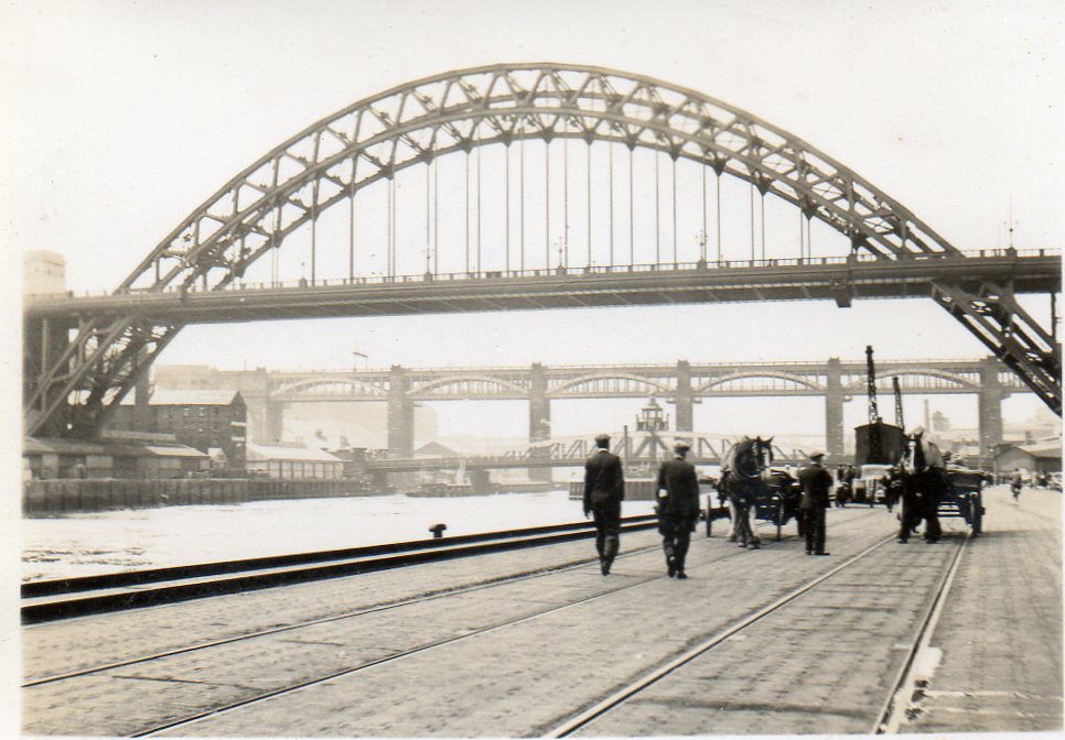
Snapshot taken from Quayside June or July 1939 |

Class31 |
Monday 7th of April 2014 04:01:51 PM |