
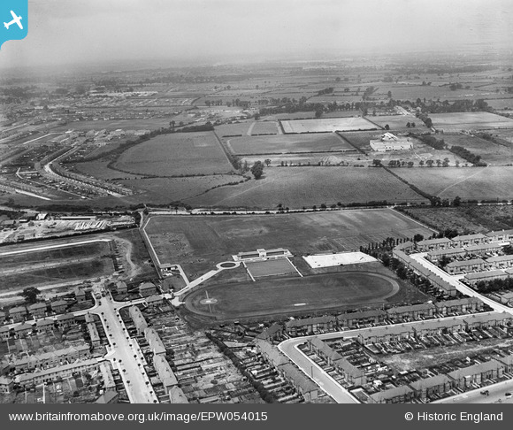
EPW054015 ENGLAND (1937). Southall Municipal Sports Ground and environs, Southall, from the south-east, 1937
© Copyright OpenStreetMap contributors and licensed by the OpenStreetMap Foundation. 2025. Cartography is licensed as CC BY-SA.
Nearby Images (8)
EPW054015

EPW054020

EPW054016

EPW054013

EPW054014

EPW054018

EPW054019

EPW054017

Details
| Title | [EPW054015] Southall Municipal Sports Ground and environs, Southall, from the south-east, 1937 |
| Reference | EPW054015 |
| Date | June-1937 |
| Link | |
| Place name | SOUTHALL |
| Parish | |
| District | |
| Country | ENGLAND |
| Easting / Northing | 512512, 181121 |
| Longitude / Latitude | -0.37826854002507, 51.517309578527 |
| National Grid Reference | TQ125811 |
Pins

Mozzy |
Saturday 27th of December 2014 06:15:36 PM |