
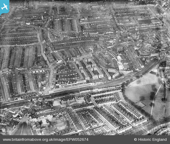
EPW052674 ENGLAND (1937). Fulham Court and surrounding residential area, Fulham, from the south-east, 1937
© Copyright OpenStreetMap contributors and licensed by the OpenStreetMap Foundation. 2026. Cartography is licensed as CC BY-SA.
Nearby Images (17)
EPW052674

EPW052667

EPW052666

EPW052669

EPW052672

EPW052671

EPW052675

EPW052673

EPW025108
, Fulham, 1928")
EPW052679

EPW052670

EPW052677

EPW052668

EPW052678

EPW052676

EPW052680

EPW052665

Details
| Title | [EPW052674] Fulham Court and surrounding residential area, Fulham, from the south-east, 1937 |
| Reference | EPW052674 |
| Date | 12-March-1937 |
| Link | |
| Place name | FULHAM |
| Parish | |
| District | |
| Country | ENGLAND |
| Easting / Northing | 525178, 176815 |
| Longitude / Latitude | -0.19732288495195, 51.475941857177 |
| National Grid Reference | TQ252768 |
Pins

SimonMarkSmith |
Friday 30th of December 2022 12:29:04 AM | |
|
SimonMarkSmith |
Friday 30th of December 2022 12:28:17 AM | |
|
SimonMarkSmith |
Friday 30th of December 2022 12:27:37 AM | |
|
SimonMarkSmith |
Friday 30th of December 2022 12:24:41 AM | |
|
SimonMarkSmith |
Friday 30th of December 2022 12:24:12 AM |