
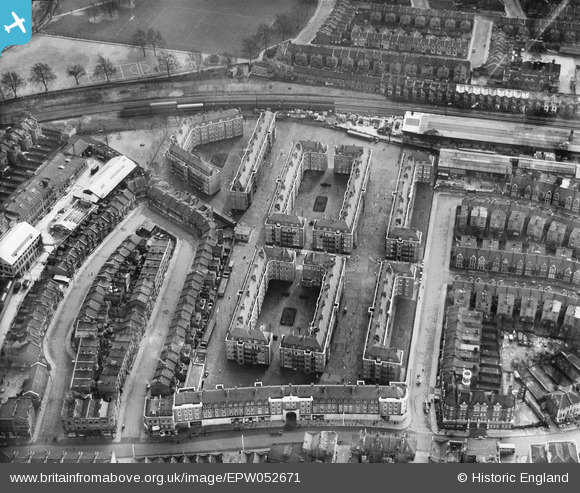
EPW052671 ENGLAND (1937). Fulham Court, Fulham, 1937
© Copyright OpenStreetMap contributors and licensed by the OpenStreetMap Foundation. 2026. Cartography is licensed as CC BY-SA.
Nearby Images (15)
EPW052671

EPW052672

EPW052669

EPW052673

EPW052668

EPW052670

EPW052666

EPW052678

EPW025108
, Fulham, 1928")
EPW052675

EPW052676

EPW052667

EPW052674

EPW052679

EPW052677

Details
| Title | [EPW052671] Fulham Court, Fulham, 1937 |
| Reference | EPW052671 |
| Date | 12-March-1937 |
| Link | |
| Place name | FULHAM |
| Parish | |
| District | |
| Country | ENGLAND |
| Easting / Northing | 525161, 176965 |
| Longitude / Latitude | -0.19751441488175, 51.477293832595 |
| National Grid Reference | TQ252770 |
Pins
Be the first to add a comment to this image!