
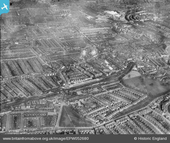
EPW052680 ENGLAND (1937). Parsons Green Station and surrounding district, Parsons Green, from the south-east, 1937
© Copyright OpenStreetMap contributors and licensed by the OpenStreetMap Foundation. 2026. Cartography is licensed as CC BY-SA.
Nearby Images (2)
EPW052680

EPW052674

Details
| Title | [EPW052680] Parsons Green Station and surrounding district, Parsons Green, from the south-east, 1937 |
| Reference | EPW052680 |
| Date | 12-March-1937 |
| Link | |
| Place name | PARSONS GREEN |
| Parish | |
| District | |
| Country | ENGLAND |
| Easting / Northing | 525167, 176605 |
| Longitude / Latitude | -0.19755562466333, 51.474056792299 |
| National Grid Reference | TQ252766 |
Pins

Leslie B |
Wednesday 5th of April 2023 07:37:17 PM | |
|
Dom |
Tuesday 12th of May 2020 05:09:26 PM | |
|
Keith Cheriton |
Friday 21st of November 2014 02:08:19 PM | |
I was born here in 1952 ! |
Simon Dale |
Monday 17th of October 2016 11:51:48 AM |
|
Keith Cheriton |
Friday 21st of November 2014 02:06:34 PM | |
|
Keith Cheriton |
Thursday 6th of February 2014 03:06:42 PM | |
|
Keith Cheriton |
Thursday 6th of February 2014 03:06:05 PM | |
|
Keith Cheriton |
Thursday 6th of February 2014 03:05:27 PM | |
|
Keith Cheriton |
Thursday 6th of February 2014 03:04:57 PM | |
|
Keith Cheriton |
Thursday 6th of February 2014 03:04:08 PM |