
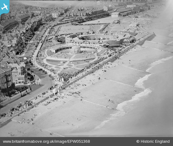
EPW051368 ENGLAND (1936). The Royal Parade, Eastbourne Redoubt and the Redoubt Music Gardens, Eastbourne, 1936
© Copyright OpenStreetMap contributors and licensed by the OpenStreetMap Foundation. 2026. Cartography is licensed as CC BY-SA.
Nearby Images (9)
EPW051368

EPW051367

EPW039414

EPW042973

EPW000101

EPW000076

EPW039416

EPW000102

EPW016886

Details
| Title | [EPW051368] The Royal Parade, Eastbourne Redoubt and the Redoubt Music Gardens, Eastbourne, 1936 |
| Reference | EPW051368 |
| Date | August-1936 |
| Link | |
| Place name | EASTBOURNE |
| Parish | |
| District | |
| Country | ENGLAND |
| Easting / Northing | 562246, 99573 |
| Longitude / Latitude | 0.30130539742396, 50.772450411017 |
| National Grid Reference | TV622996 |
Pins

Lancaster |
Wednesday 28th of September 2022 12:37:17 PM |