
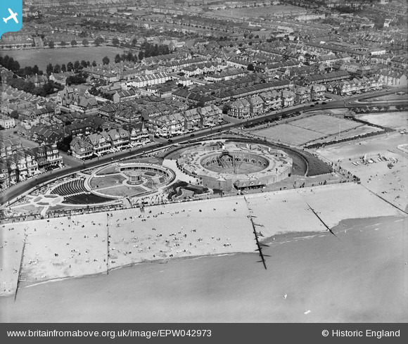
EPW042973 ENGLAND (1933). Eastbourne Redoubt and the Redoubt Music Gardens, Eastbourne, 1933
© Copyright OpenStreetMap contributors and licensed by the OpenStreetMap Foundation. 2026. Cartography is licensed as CC BY-SA.
Nearby Images (8)
EPW042973

EPW039414

EPW000101

EPW051367

EPW051368

EPW000102

EPW000076

EPW039416

Details
| Title | [EPW042973] Eastbourne Redoubt and the Redoubt Music Gardens, Eastbourne, 1933 |
| Reference | EPW042973 |
| Date | August-1933 |
| Link | |
| Place name | EASTBOURNE |
| Parish | |
| District | |
| Country | ENGLAND |
| Easting / Northing | 562264, 99672 |
| Longitude / Latitude | 0.30160417289536, 50.773335025303 |
| National Grid Reference | TV623997 |
Pins

Paul C |
Tuesday 28th of July 2026 01:38:28 PM |