
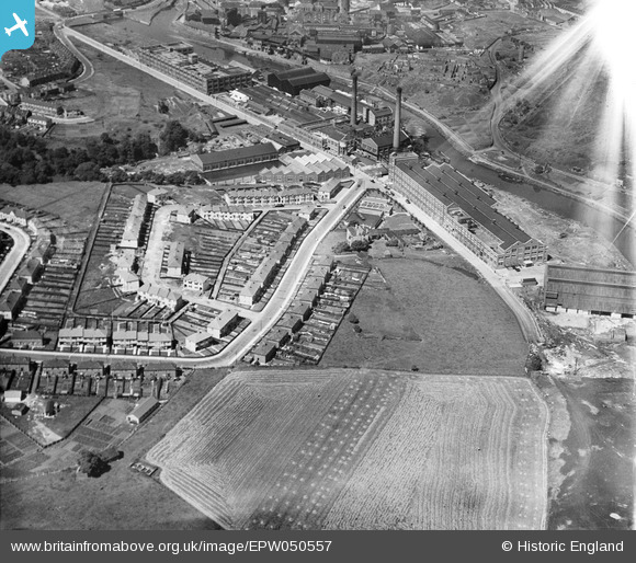
EPW050557 ENGLAND (1936). St Anne's Board Mill Co Ltd Works and Wootton Road, Bristol, 1936
© Copyright OpenStreetMap contributors and licensed by the OpenStreetMap Foundation. 2026. Cartography is licensed as CC BY-SA.
Nearby Images (20)
EPW050557

EPW060107

EPW060115

EPW060108

EPW050467

EPW050560

EPW050463

EPW050466

EPW050570

EPW050569

EPW050558

EPW050568

EPW050571

EPW060106

EPW060112

EPW050565

EPW050464

EPW060111

EPW050465

EPW050563

Details
| Title | [EPW050557] St Anne's Board Mill Co Ltd Works and Wootton Road, Bristol, 1936 |
| Reference | EPW050557 |
| Date | June-1936 |
| Link | |
| Place name | BRISTOL |
| Parish | |
| District | |
| Country | ENGLAND |
| Easting / Northing | 362327, 172873 |
| Longitude / Latitude | -2.5422364641772, 51.453095476379 |
| National Grid Reference | ST623729 |
Pins

Alan |
Monday 15th of December 2014 11:29:11 PM |