
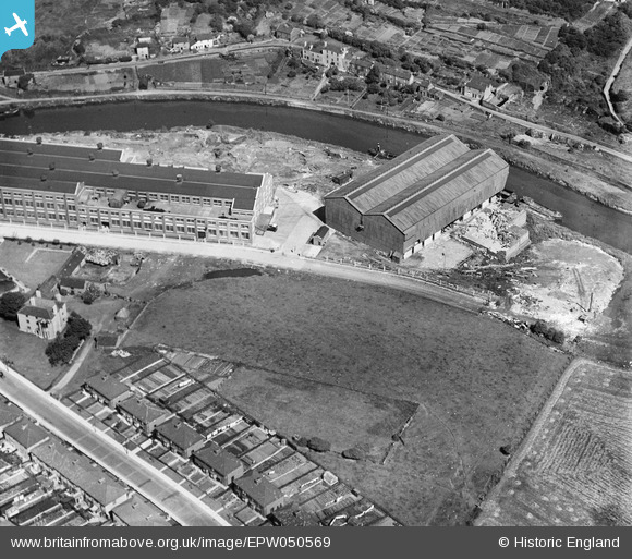
EPW050569 ENGLAND (1936). Part of St Anne's Board Mill Co Ltd Works, Bristol, 1936
© Copyright OpenStreetMap contributors and licensed by the OpenStreetMap Foundation. 2026. Cartography is licensed as CC BY-SA.
Nearby Images (17)
EPW050569

EPW050568

EPW050570

EPW060115

EPW050463

EPW050557

EPW060107

EPW050466

EPW060108

EPW060106

EPW050467

EPW050560

EPW050571

EPW050558

EPW060112

EPW050565

EPW060111

Details
| Title | [EPW050569] Part of St Anne's Board Mill Co Ltd Works, Bristol, 1936 |
| Reference | EPW050569 |
| Date | June-1936 |
| Link | |
| Place name | BRISTOL |
| Parish | |
| District | |
| Country | ENGLAND |
| Easting / Northing | 362324, 173001 |
| Longitude / Latitude | -2.5422932793821, 51.454246275105 |
| National Grid Reference | ST623730 |
Pins
Be the first to add a comment to this image!