
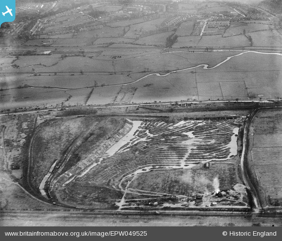
EPW049525 ENGLAND (1935). Gravel Pit off Pickett's Lock Lane and environs, Enfield, 1935
© Copyright OpenStreetMap contributors and licensed by the OpenStreetMap Foundation. 2026. Cartography is licensed as CC BY-SA.
Nearby Images (8)
EPW049525

EPW048911

EPW049700

EPW049725

EPW048910

EAW040969

EPW049527

EPW046447

Details
| Title | [EPW049525] Gravel Pit off Pickett's Lock Lane and environs, Enfield, 1935 |
| Reference | EPW049525 |
| Date | December-1935 |
| Link | |
| Place name | ENFIELD |
| Parish | |
| District | |
| Country | ENGLAND |
| Easting / Northing | 536283, 194127 |
| Longitude / Latitude | -0.030788919005018, 51.628960522183 |
| National Grid Reference | TQ363941 |
Pins
Be the first to add a comment to this image!