
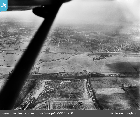
EPW048910 ENGLAND (1935). The site of the William Girling Reservoir, Lower Edmonton, from the west, 1935
© Copyright OpenStreetMap contributors and licensed by the OpenStreetMap Foundation. 2026. Cartography is licensed as CC BY-SA.
Nearby Images (9)
EPW048910

EPW049725

EPW046447

EPW049525

EPW049700

EPW048911

EPW046444

EAW040969

EPW049708

Details
| Title | [EPW048910] The site of the William Girling Reservoir, Lower Edmonton, from the west, 1935 |
| Reference | EPW048910 |
| Date | August-1935 |
| Link | |
| Place name | LOWER EDMONTON |
| Parish | |
| District | |
| Country | ENGLAND |
| Easting / Northing | 536183, 193993 |
| Longitude / Latitude | -0.032285063762712, 51.627780480703 |
| National Grid Reference | TQ362940 |
Pins
Be the first to add a comment to this image!