
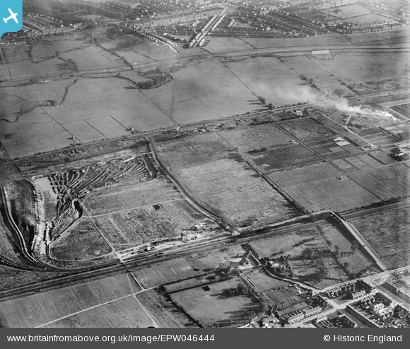
EPW046444 ENGLAND (1934). Edmonton U.D. Council Sewage Farm and land around Pickett's Lock Lane, Lower Edmonton, 1934
© Copyright OpenStreetMap contributors and licensed by the OpenStreetMap Foundation. 2026. Cartography is licensed as CC BY-SA.
Nearby Images (8)
EPW046444

EPW049708

EPW046445

EPW046447

EPW046446

EPW048910

EPW049707

EPW046020

Details
| Title | [EPW046444] Edmonton U.D. Council Sewage Farm and land around Pickett's Lock Lane, Lower Edmonton, 1934 |
| Reference | EPW046444 |
| Date | October-1934 |
| Link | |
| Place name | LOWER EDMONTON |
| Parish | |
| District | |
| Country | ENGLAND |
| Easting / Northing | 536043, 193805 |
| Longitude / Latitude | -0.034379690821265, 51.626124794037 |
| National Grid Reference | TQ360938 |
Pins
Be the first to add a comment to this image!