
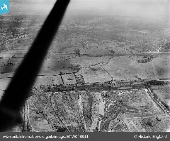
EPW048911 ENGLAND (1935). The site of the William Girling Reservoir, Lower Edmonton, from the west, 1935
© Copyright OpenStreetMap contributors and licensed by the OpenStreetMap Foundation. 2026. Cartography is licensed as CC BY-SA.
Nearby Images (7)
EPW048911

EPW049525

EPW049700

EPW049706

EPW049527

EPW048910

EPW049725

Details
| Title | [EPW048911] The site of the William Girling Reservoir, Lower Edmonton, from the west, 1935 |
| Reference | EPW048911 |
| Date | August-1935 |
| Link | |
| Place name | LOWER EDMONTON |
| Parish | |
| District | |
| Country | ENGLAND |
| Easting / Northing | 536243, 194217 |
| Longitude / Latitude | -0.031331504915457, 51.629779040634 |
| National Grid Reference | TQ362942 |
Pins
Be the first to add a comment to this image!