
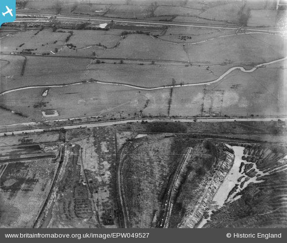
EPW049527 ENGLAND (1935). The River Lea Navigation and adjoining gravel pit near Pickett's Lock Lane, Enfield, 1935
© Copyright OpenStreetMap contributors and licensed by the OpenStreetMap Foundation. 2026. Cartography is licensed as CC BY-SA.
Nearby Images (9)
EPW049527

EPW048913

EAW040971

EPW048911

EPW056332

EPW049706

EPW049700

EPW049525

EPW056331

Details
| Title | [EPW049527] The River Lea Navigation and adjoining gravel pit near Pickett's Lock Lane, Enfield, 1935 |
| Reference | EPW049527 |
| Date | December-1935 |
| Link | |
| Place name | ENFIELD |
| Parish | |
| District | |
| Country | ENGLAND |
| Easting / Northing | 536432, 194342 |
| Longitude / Latitude | -0.028553540297606, 51.630856606923 |
| National Grid Reference | TQ364943 |
Pins
Be the first to add a comment to this image!