EPW048402 ENGLAND (1935). Bath and County Recreation Ground, the Cricket Ground and environs, Bath, 1935
    © Copyright OpenStreetMap contributors and licensed by the OpenStreetMap Foundation. 2025. Cartography is licensed as CC BY-SA.
  
Nearby Images (36)
Details
| Title | [EPW048402] Bath and County Recreation Ground, the Cricket Ground and environs, Bath, 1935 | 
| Reference | EPW048402 | 
| Date | July-1935 | 
| Link | |
| Place name | BATH | 
| Parish | |
| District | |
| Country | ENGLAND | 
| Easting / Northing | 375319, 164909 | 
| Longitude / Latitude | -2.3546896824218, 51.382195158482 | 
| National Grid Reference | ST753649 | 
Pins
|  Bath RFC |   gerry-r | Sunday 22nd of June 2014 01:20:48 PM | 
| Class31 | Thursday 15th of May 2014 03:49:07 PM | |
|  St Swithins Church, Walcot |   H Campbell | Friday 10th of January 2014 11:36:30 PM | 
| Class31 | Monday 6th of January 2014 12:10:04 PM | |
|  Pump Room |   MB | Sunday 2nd of June 2013 09:59:13 AM | 
|  Roman Baths |   MB | Sunday 2nd of June 2013 09:58:54 AM | 
|  Bath Abbey, formerly a Benedictine monastery, now a parish church |   MB | Sunday 2nd of June 2013 09:55:41 AM | 
| The building is Listed Grade I |   MB | Sunday 2nd of June 2013 09:57:20 AM | 
|  Brunel's Great Western main line to Swindon and London Paddington |   MB | Sunday 2nd of June 2013 09:53:29 AM | 
|  The Royal Crescent. Designed by John Wood the Younger and completed in 1774 |   MB | Sunday 2nd of June 2013 09:52:18 AM | 
|  The Circus. A part of Georgian Bath completed in 1768 |   MB | Sunday 2nd of June 2013 09:50:32 AM | 
|  Weir since remodelled following floods in 1968 |   MB | Sunday 2nd of June 2013 09:48:40 AM | 
| The weir originally provided leat water to drive two mills, one on each bank |   MB | Sunday 2nd of June 2013 09:49:24 AM | 
|  Pulteney Bridge, completed by 1774 |   MB | Sunday 2nd of June 2013 09:47:28 AM | 
|  Empire Hotel | Class31 | Saturday 18th of May 2013 07:51:53 PM | 
|  North Parade Bridge | Class31 | Saturday 18th of May 2013 07:51:32 PM | 
|  Sydney Buildings | Class31 | Saturday 18th of May 2013 07:50:45 PM | 
User Comment Contributions
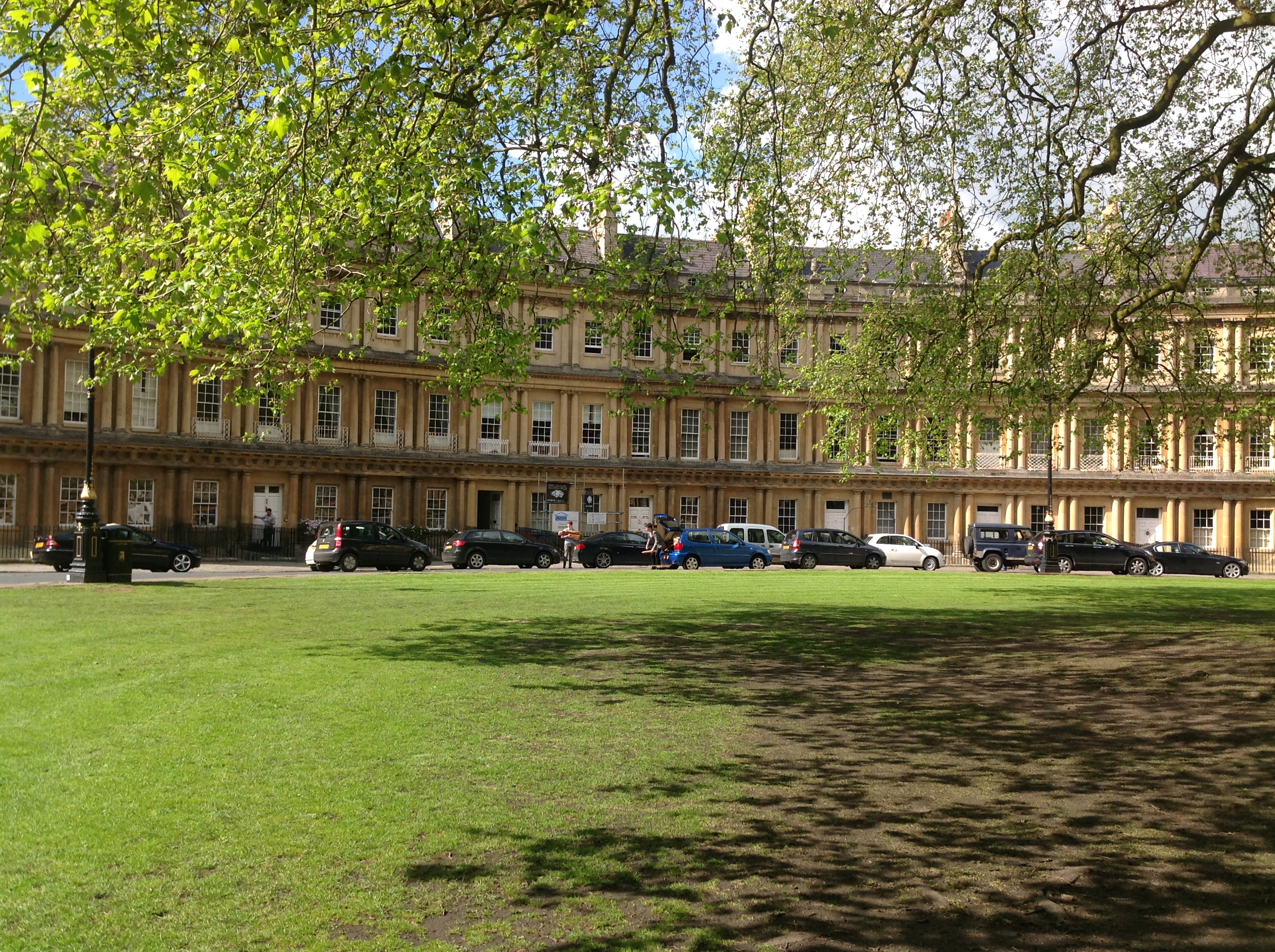
| The Circus, Bath 14/05/2014 | Class31 | Thursday 15th of May 2014 03:50:51 PM | 
 
             
  ![[EPW048402] Bath and County Recreation Ground, the Cricket Ground and environs, Bath, 1935](http://britainfromabove.org.uk/sites/all/libraries/aerofilms-images/public/100x100/EPW/048/EPW048402.jpg) 
  
                                          ![[EAW049901] Bath, the second day of the Somerset-Kent county cricket match, 1953](http://britainfromabove.org.uk/sites/all/libraries/aerofilms-images/public/100x100/EAW/049/EAW049901.jpg) 
 ![[EPW001950] The Weir and Parade Gardens, Bath, 1920](http://britainfromabove.org.uk/sites/all/libraries/aerofilms-images/public/100x100/EPW/001/EPW001950.jpg) 
 ![[EAW023885] Parade Gardens and the city centre, Bath, 1949. This image has been produced from a print.](http://britainfromabove.org.uk/sites/all/libraries/aerofilms-images/public/100x100/EAW/023/EAW023885.jpg) 
 ![[EAW049898] Bath, the second day of the Somerset-Kent county cricket match, 1953](http://britainfromabove.org.uk/sites/all/libraries/aerofilms-images/public/100x100/EAW/049/EAW049898.jpg) 
 ![[EPW048377] The city, Bath, from the north-east, 1935](http://britainfromabove.org.uk/sites/all/libraries/aerofilms-images/public/100x100/EPW/048/EPW048377.jpg) 
 ![[EPW048403] Bath and County Recreation Ground, the Cricket Ground and environs, Bath, 1935](http://britainfromabove.org.uk/sites/all/libraries/aerofilms-images/public/100x100/EPW/048/EPW048403.jpg) 
 ![[EPW001957] General view of the town centre, Bath, from the east, 1920](http://britainfromabove.org.uk/sites/all/libraries/aerofilms-images/public/100x100/EPW/001/EPW001957.jpg) 
 ![[EAW000752] Laura Place, Henrietta Park and Great Pulteney Street, Bath, from the south-west, 1946](http://britainfromabove.org.uk/sites/all/libraries/aerofilms-images/public/100x100/EAW/000/EAW000752.jpg) 
 ![[EAW049900] Bath, the second day of the Somerset-Kent county cricket match, 1953](http://britainfromabove.org.uk/sites/all/libraries/aerofilms-images/public/100x100/EAW/049/EAW049900.jpg) 
 ![[EAW049899] Bath, the second day of the Somerset-Kent county cricket match, 1953](http://britainfromabove.org.uk/sites/all/libraries/aerofilms-images/public/100x100/EAW/049/EAW049899.jpg) 
 ![[EAW000759] The Abbey Church of St Peter and St Paul and the surrounding city, Bath, from the north-east, 1946](http://britainfromabove.org.uk/sites/all/libraries/aerofilms-images/public/100x100/EAW/000/EAW000759.jpg) 
 ![[EAW000753] Laura Place, Henrietta Park and Great Pulteney Street, Bath, 1946](http://britainfromabove.org.uk/sites/all/libraries/aerofilms-images/public/100x100/EAW/000/EAW000753.jpg) 
 ![[EAW026450] The city centre, Bath, from the east, 1949](http://britainfromabove.org.uk/sites/all/libraries/aerofilms-images/public/100x100/EAW/026/EAW026450.jpg) 
 ![[EAW000754] The city, Bath, from the east, 1946](http://britainfromabove.org.uk/sites/all/libraries/aerofilms-images/public/100x100/EAW/000/EAW000754.jpg) 
 ![[EAW023882] The Abbey Church of St Peter and St Paul and the city centre, Bath, from the south-east, 1949. This image has been produced from a print.](http://britainfromabove.org.uk/sites/all/libraries/aerofilms-images/public/100x100/EAW/023/EAW023882.jpg) 
 ![[EPW001945] The Abbey Church of St Peter and St Paul, Bath, 1920](http://britainfromabove.org.uk/sites/all/libraries/aerofilms-images/public/100x100/EPW/001/EPW001945.jpg) 
 ![[EAW000750] Laura Place, Henrietta Park and Great Pulteney Street, Bath, 1946](http://britainfromabove.org.uk/sites/all/libraries/aerofilms-images/public/100x100/EAW/000/EAW000750.jpg) 
 ![[EPW048380] The city, Bath, from the east, 1935](http://britainfromabove.org.uk/sites/all/libraries/aerofilms-images/public/100x100/EPW/048/EPW048380.jpg) 
 ![[EPW053136] The city centre, Bath, 1937](http://britainfromabove.org.uk/sites/all/libraries/aerofilms-images/public/100x100/EPW/053/EPW053136.jpg) 
 ![[EPW001161] View over Bath city centre and the Abbey, Bath, 1920](http://britainfromabove.org.uk/sites/all/libraries/aerofilms-images/public/100x100/EPW/001/EPW001161.jpg) 
 ![[EAW023884] North Parade Bridge and the city centre, Bath, 1949. This image has been produced from a print.](http://britainfromabove.org.uk/sites/all/libraries/aerofilms-images/public/100x100/EAW/023/EAW023884.jpg) 
 ![[EAW000755] The Church of St John the Evangelist, Abbey Church of St Peter and St Paul and surrounding city, Bath, 1946](http://britainfromabove.org.uk/sites/all/libraries/aerofilms-images/public/100x100/EAW/000/EAW000755.jpg) 
 ![[EPW053141] The Abbey Church of St Peter and St Paul, the Roman Baths and the city centre, Bath, 1937](http://britainfromabove.org.uk/sites/all/libraries/aerofilms-images/public/100x100/EPW/053/EPW053141.jpg) 
 ![[EPW053131] The Tramway Depot, St Michael's Church and Laura Place, Bath, 1937](http://britainfromabove.org.uk/sites/all/libraries/aerofilms-images/public/100x100/EPW/053/EPW053131.jpg) 
 ![[EPW001958] General view of the town centre, Bath, from the north, 1920](http://britainfromabove.org.uk/sites/all/libraries/aerofilms-images/public/100x100/EPW/001/EPW001958.jpg) 
 ![[EPW053132] Henrietta Park and the city centre, Bath, 1937](http://britainfromabove.org.uk/sites/all/libraries/aerofilms-images/public/100x100/EPW/053/EPW053132.jpg) 
 ![[EAW000746] The Abbey Church of St Peter and St Paul and environs, Bath, 1946](http://britainfromabove.org.uk/sites/all/libraries/aerofilms-images/public/100x100/EAW/000/EAW000746.jpg) 
 ![[EAW000756] The Church of St John the Evangelist, Abbey Church of St Peter and St Paul and surrounding city, Bath, 1946](http://britainfromabove.org.uk/sites/all/libraries/aerofilms-images/public/100x100/EAW/000/EAW000756.jpg) 
 ![[EPW053135] Henrietta Park and the city centre, Bath, 1937. This image has been affected by flare.](http://britainfromabove.org.uk/sites/all/libraries/aerofilms-images/public/100x100/EPW/053/EPW053135.jpg) 
 ![[EAW026451] Henrietta Park and the city centre, Bath, from the east, 1949](http://britainfromabove.org.uk/sites/all/libraries/aerofilms-images/public/100x100/EAW/026/EAW026451.jpg) 
 ![[EPW001942] The Abbey Church of St Peter and St Paul and town centre, Bath, 1920](http://britainfromabove.org.uk/sites/all/libraries/aerofilms-images/public/100x100/EPW/001/EPW001942.jpg) 
 ![[EAW000751] Great Pulteney Street, Henrietta Park and Sydney Gardens, Bath, 1946](http://britainfromabove.org.uk/sites/all/libraries/aerofilms-images/public/100x100/EAW/000/EAW000751.jpg) 
 ![[EAW000748] The Church of St James, Abbey Church of St Peter and St Paul and the surrounding city, Bath, 1946](http://britainfromabove.org.uk/sites/all/libraries/aerofilms-images/public/100x100/EAW/000/EAW000748.jpg) 
 ![[EPW053129] The Tramway Depot, the Cattle Market and Laura Place, Bath, 1937](http://britainfromabove.org.uk/sites/all/libraries/aerofilms-images/public/100x100/EPW/053/EPW053129.jpg) 
 ![[EPW001954] General view over Henrietta Park and north Bath, Bath, from the south-east, 1920](http://britainfromabove.org.uk/sites/all/libraries/aerofilms-images/public/100x100/EPW/001/EPW001954.jpg) 
 