
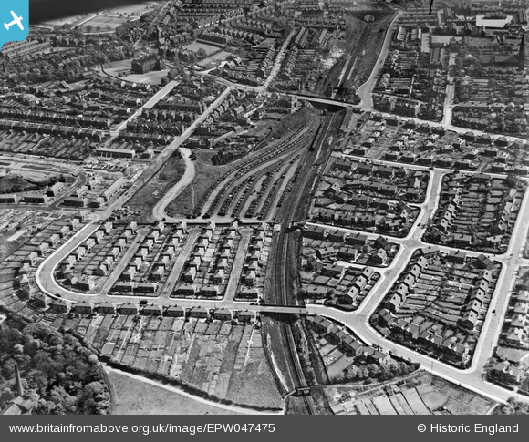
EPW047475 ENGLAND (1935). Wilton Road, the Manchester, Whitefield and Radcliffe Railway Line and environs, Crumpsall, 1935
© Copyright OpenStreetMap contributors and licensed by the OpenStreetMap Foundation. 2025. Cartography is licensed as CC BY-SA.
Nearby Images (13)
EPW047475

EPW046174

EPW047477

EPW047476

EPW048639

EPW048662

EPW017527

EPW048641

EPW048633

EPW048660

EPW047474

EPW048643

EPW046175

Details
| Title | [EPW047475] Wilton Road, the Manchester, Whitefield and Radcliffe Railway Line and environs, Crumpsall, 1935 |
| Reference | EPW047475 |
| Date | May-1935 |
| Link | |
| Place name | CRUMPSALL |
| Parish | |
| District | |
| Country | ENGLAND |
| Easting / Northing | 384047, 402655 |
| Longitude / Latitude | -2.2406375623132, 53.520076814441 |
| National Grid Reference | SD840027 |
Pins

john |
Tuesday 7th of February 2023 11:00:59 AM | |
|
john |
Tuesday 7th of February 2023 10:59:22 AM | |
|
john |
Tuesday 7th of February 2023 10:58:33 AM | |
|
Barney Rubble |
Friday 13th of July 2018 10:10:54 PM | |
|
Barney Rubble |
Friday 13th of July 2018 10:07:22 PM |