
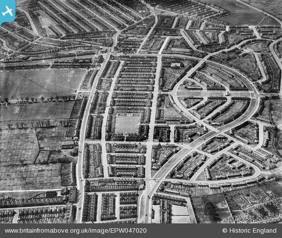
EPW047020 ENGLAND (1935). The White Hart Lane Estate, Tower Gardens, 1935
© Copyright OpenStreetMap contributors and licensed by the OpenStreetMap Foundation. 2026. Cartography is licensed as CC BY-SA.
Nearby Images (12)
EPW047020

EPW047010

EPW047016

EPW047015

EPW047011

EPW047017

EPW047018

EPW047014

EPW047012

EPW047013

EPW047019

EPW047009

Details
| Title | [EPW047020] The White Hart Lane Estate, Tower Gardens, 1935 |
| Reference | EPW047020 |
| Date | May-1935 |
| Link | |
| Place name | TOWER GARDENS |
| Parish | |
| District | |
| Country | ENGLAND |
| Easting / Northing | 532710, 190688 |
| Longitude / Latitude | -0.083687622152184, 51.598907471115 |
| National Grid Reference | TQ327907 |


