
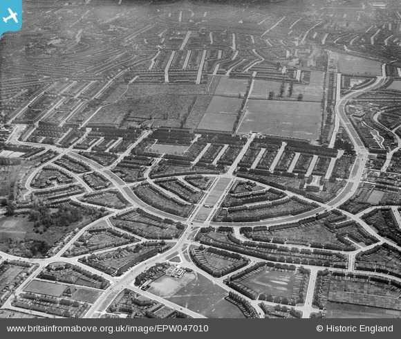
EPW047010 ENGLAND (1935). The White Hart Lane Estate, Tower Gardens, 1935
© Copyright OpenStreetMap contributors and licensed by the OpenStreetMap Foundation. 2026. Cartography is licensed as CC BY-SA.
Nearby Images (12)
EPW047010

EPW047018

EPW047020

EPW047017

EPW047016

EPW047012

EPW047015

EPW047011

EPW047014

EPW047019

EPW047009

EPW047013

Details
| Title | [EPW047010] The White Hart Lane Estate, Tower Gardens, 1935 |
| Reference | EPW047010 |
| Date | May-1935 |
| Link | |
| Place name | TOWER GARDENS |
| Parish | |
| District | |
| Country | ENGLAND |
| Easting / Northing | 532675, 190708 |
| Longitude / Latitude | -0.084185146664112, 51.599095464413 |
| National Grid Reference | TQ327907 |
Pins

Class31 |
Sunday 30th of November 2014 04:25:37 PM | |
|
Class31 |
Sunday 30th of November 2014 04:22:32 PM | |
|
Class31 |
Sunday 30th of November 2014 03:18:26 PM | |

mardell8 |
Thursday 24th of October 2013 08:38:46 PM | |
|
bugbear |
Wednesday 21st of August 2013 12:10:38 PM | |
|
bugbear |
Wednesday 21st of August 2013 12:08:54 PM | |
|
bugbear |
Wednesday 21st of August 2013 12:08:25 PM |


