
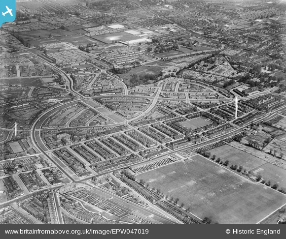
EPW047019 ENGLAND (1935). The White Hart Lane Estate and environs, Tower Gardens, 1935
© Copyright OpenStreetMap contributors and licensed by the OpenStreetMap Foundation. 2026. Cartography is licensed as CC BY-SA.
Nearby Images (12)
EPW047019

EPW047009

EPW047012

EPW047017

EPW047013

EPW047018

EPW047010

EPW047020

EPW047015

EPW047016

EPW047011

EPW047014

Details
| Title | [EPW047019] The White Hart Lane Estate and environs, Tower Gardens, 1935 |
| Reference | EPW047019 |
| Date | May-1935 |
| Link | |
| Place name | TOWER GARDENS |
| Parish | |
| District | |
| Country | ENGLAND |
| Easting / Northing | 532693, 190842 |
| Longitude / Latitude | -0.083874683881992, 51.600295524438 |
| National Grid Reference | TQ327908 |
Pins

Kjond42 |
Sunday 15th of November 2020 12:50:50 PM | |

Class31 |
Sunday 30th of November 2014 04:39:43 PM | |
|
Class31 |
Sunday 30th of November 2014 04:33:56 PM | |
|
Class31 |
Sunday 30th of November 2014 04:27:57 PM | |
|
Class31 |
Sunday 30th of November 2014 04:19:04 PM | |
|
Class31 |
Sunday 30th of November 2014 04:14:53 PM | |
|
bugbear |
Wednesday 21st of August 2013 12:13:33 PM |


