
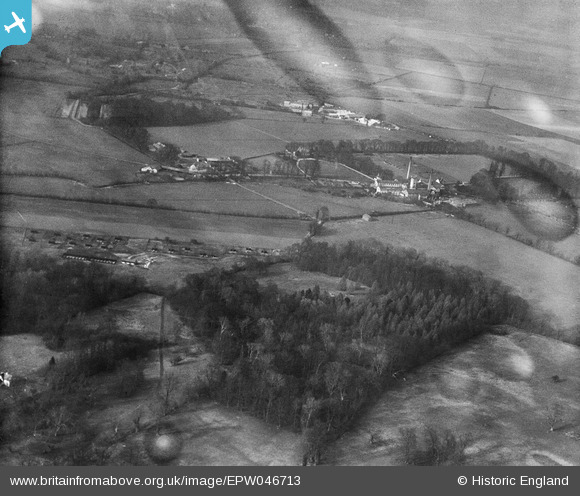
EPW046713 ENGLAND (1935). Park Wood, Sawston Paper Mill and environs, Whittlesford, 1935. This image has been produced from a damaged negative.
© Copyright OpenStreetMap contributors and licensed by the OpenStreetMap Foundation. 2026. Cartography is licensed as CC BY-SA.
Nearby Images (18)
EPW046713

EPW046716

EPW046715

EPW046709

EPW046708

EPW046706

EPW046704

EPW046701

EPW046717

EPW046703

EAW042645

EAW042640

EPW046702

EPW046699

EAW042642

EAW042644

EAW042643

EAW042646

Details
| Title | [EPW046713] Park Wood, Sawston Paper Mill and environs, Whittlesford, 1935. This image has been produced from a damaged negative. |
| Reference | EPW046713 |
| Date | March-1935 |
| Link | |
| Place name | WHITTLESFORD |
| Parish | WHITTLESFORD |
| District | |
| Country | ENGLAND |
| Easting / Northing | 546994, 249105 |
| Longitude / Latitude | 0.14728048204481, 52.120278807472 |
| National Grid Reference | TL470491 |
Pins
Be the first to add a comment to this image!