
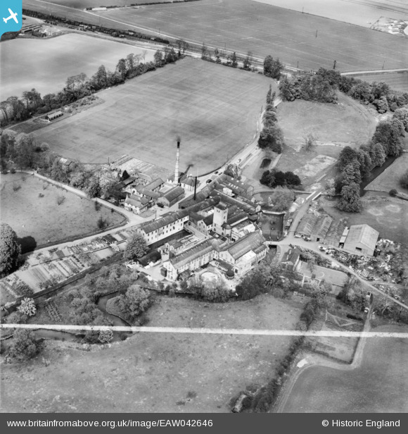
EAW042646 ENGLAND (1952). The Sawston Paper Mill, Sawston, 1952. This image was marked by Aerofilms Ltd for photo editing.
© Copyright OpenStreetMap contributors and licensed by the OpenStreetMap Foundation. 2026. Cartography is licensed as CC BY-SA.
Nearby Images (21)
EAW042646

EAW042643

EPW046699

EAW042641

EAW042640

EPW046702

EAW042644

EAW042642

EAW042645

EPW046703

EPW046700

EPW046712

EPW046701

EPW046717

EAW042648

EPW046706

EAW042647

EPW046710

EPW046718

EAW042649

EPW046713

Details
| Title | [EAW042646] The Sawston Paper Mill, Sawston, 1952. This image was marked by Aerofilms Ltd for photo editing. |
| Reference | EAW042646 |
| Date | 25-April-1952 |
| Link | |
| Place name | SAWSTON |
| Parish | SAWSTON |
| District | |
| Country | ENGLAND |
| Easting / Northing | 547216, 249351 |
| Longitude / Latitude | 0.15062741122036, 52.122430092961 |
| National Grid Reference | TL472494 |
Pins

pf329 |
Friday 29th of May 2015 03:25:32 PM |