
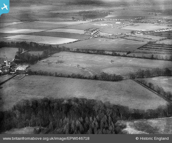
EPW046718 ENGLAND (1935). Fields between Lower Park Belt and Mill Lane, Sawston, 1935
© Copyright OpenStreetMap contributors and licensed by the OpenStreetMap Foundation. 2026. Cartography is licensed as CC BY-SA.
Nearby Images (15)
EPW046718

EPW046717

EPW046700

EAW042645

EAW042644

EAW042642

EPW046701

EAW042643

EPW046702

EAW042646

EPW046699

EAW042640

EPW046703

EAW042641

EPW046712

Details
| Title | [EPW046718] Fields between Lower Park Belt and Mill Lane, Sawston, 1935 |
| Reference | EPW046718 |
| Date | March-1935 |
| Link | |
| Place name | SAWSTON |
| Parish | SAWSTON |
| District | |
| Country | ENGLAND |
| Easting / Northing | 547396, 249156 |
| Longitude / Latitude | 0.15317048563901, 52.120630009096 |
| National Grid Reference | TL474492 |
Pins
Be the first to add a comment to this image!