
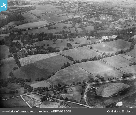
EPW038609 ENGLAND (1932). Pownall Hall and surroundings, Pownall Park, 1932
© Copyright OpenStreetMap contributors and licensed by the OpenStreetMap Foundation. 2025. Cartography is licensed as CC BY-SA.
Nearby Images (6)
EPW038609

EPW038611

EPW038613

EPW038610

EPW038607

EPW038612

Details
| Title | [EPW038609] Pownall Hall and surroundings, Pownall Park, 1932 |
| Reference | EPW038609 |
| Date | June-1932 |
| Link | |
| Place name | POWNALL PARK |
| Parish | |
| District | |
| Country | ENGLAND |
| Easting / Northing | 383657, 381649 |
| Longitude / Latitude | -2.2454303180371, 53.331231584742 |
| National Grid Reference | SJ837816 |
Pins

JEM |
Sunday 8th of December 2013 08:26:31 PM | |
|
JEM |
Sunday 8th of December 2013 03:09:18 PM | |

Class31 |
Wednesday 27th of March 2013 08:20:11 PM | |
This was actually know as Lapwing Lane. |
JEM |
Sunday 8th of December 2013 03:08:41 PM |
|
Class31 |
Wednesday 27th of March 2013 08:14:45 PM |