
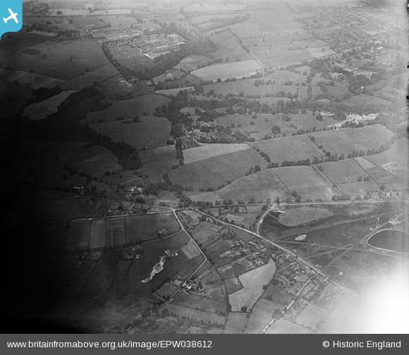
EPW038612 ENGLAND (1932). Pownall Hall, Altrincham Road, Lindow Common and surroundings, Pownall Park, 1932
© Copyright OpenStreetMap contributors and licensed by the OpenStreetMap Foundation. 2025. Cartography is licensed as CC BY-SA.
Nearby Images (5)
EPW038612

EPW038607

EPW038609

EPW038610

EPW038611

Details
| Title | [EPW038612] Pownall Hall, Altrincham Road, Lindow Common and surroundings, Pownall Park, 1932 |
| Reference | EPW038612 |
| Date | June-1932 |
| Link | |
| Place name | POWNALL PARK |
| Parish | |
| District | |
| Country | ENGLAND |
| Easting / Northing | 383474, 381722 |
| Longitude / Latitude | -2.2481822936443, 53.331882143822 |
| National Grid Reference | SJ835817 |
Pins

JEM |
Sunday 8th of December 2013 08:36:35 PM | |

Class31 |
Wednesday 27th of March 2013 08:21:28 PM | |
This is known locally as Lapwing Lane. |
JEM |
Sunday 8th of December 2013 08:37:30 PM |
|
Class31 |
Tuesday 26th of March 2013 09:58:28 PM | |
|
Class31 |
Tuesday 26th of March 2013 09:57:52 PM | |
|
Class31 |
Tuesday 26th of March 2013 09:55:27 PM | |
|
Class31 |
Tuesday 26th of March 2013 09:51:02 PM | |
|
Class31 |
Tuesday 26th of March 2013 09:50:36 PM |