
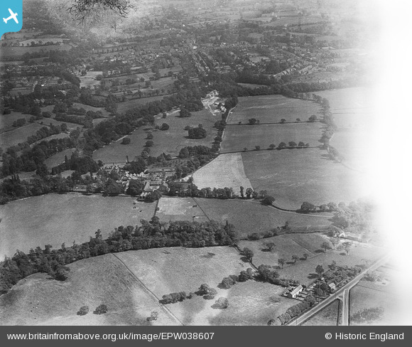
EPW038607 ENGLAND (1932). Pownall Hall and surroundings, Pownall Park, 1932
© Copyright OpenStreetMap contributors and licensed by the OpenStreetMap Foundation. 2025. Cartography is licensed as CC BY-SA.
Nearby Images (6)
EPW038607

EPW038610

EPW038609

EPW038613

EPW038611

EPW038612

Details
| Title | [EPW038607] Pownall Hall and surroundings, Pownall Park, 1932 |
| Reference | EPW038607 |
| Date | June-1932 |
| Link | |
| Place name | POWNALL PARK |
| Parish | |
| District | |
| Country | ENGLAND |
| Easting / Northing | 383649, 381748 |
| Longitude / Latitude | -2.2455555672918, 53.332121311253 |
| National Grid Reference | SJ836817 |
Pins

JEM |
Sunday 8th of December 2013 02:57:15 PM | |
|
JEM |
Sunday 8th of December 2013 02:54:42 PM | |
|
JEM |
Sunday 8th of December 2013 02:53:35 PM | |
|
JEM |
Sunday 8th of December 2013 02:50:15 PM | |
|
JEM |
Sunday 8th of December 2013 02:49:06 PM | |
|
JEM |
Sunday 8th of December 2013 02:47:30 PM | |
|
JEM |
Sunday 8th of December 2013 02:46:51 PM | |
|
JEM |
Sunday 8th of December 2013 02:44:51 PM | |
|
JEM |
Sunday 8th of December 2013 02:41:34 PM | |
|
JEM |
Sunday 8th of December 2013 02:39:59 PM |