
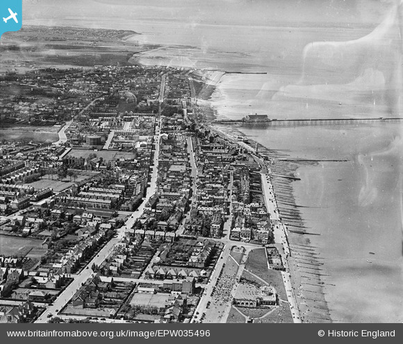
EPW035496 ENGLAND (1931). The town, Herne Bay, from the east, 1931
© Copyright OpenStreetMap contributors and licensed by the OpenStreetMap Foundation. 2026. Cartography is licensed as CC BY-SA.
Nearby Images (14)
EPW035496

EPW054045

EPW035491

EPW035498

EPW000535

EPW000147

EPW009205

EPW009206

EPW035492

EPW035495

EPW039301

EPW009203A

EPW039386

EPW035497

Details
| Title | [EPW035496] The town, Herne Bay, from the east, 1931 |
| Reference | EPW035496 |
| Date | May-1931 |
| Link | |
| Place name | HERNE BAY |
| Parish | |
| District | |
| Country | ENGLAND |
| Easting / Northing | 618238, 168344 |
| Longitude / Latitude | 1.1359090822021, 51.371646557948 |
| National Grid Reference | TR182683 |
Pins

hnritchie |
Thursday 28th of August 2014 11:14:04 AM | |

Alan McFaden |
Friday 11th of July 2014 09:53:14 AM | |
|
Alan McFaden |
Friday 11th of July 2014 09:52:51 AM | |
|
Alan McFaden |
Friday 11th of July 2014 09:43:32 AM |


User Comment Contributions
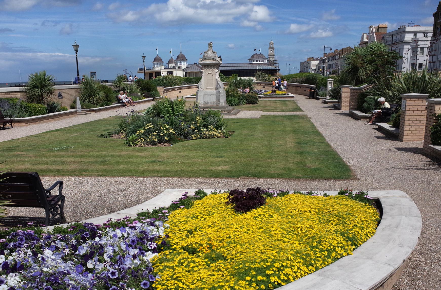
Herne Bay Waltrop Gardens 2014 |
Alan McFaden |
Monday 13th of October 2014 10:21:13 AM |