
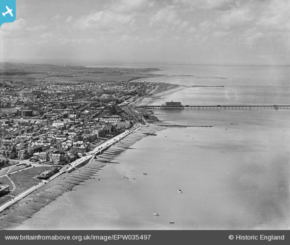
EPW035497 ENGLAND (1931). The town and pier, Herne Bay, from the north-east, 1931
© Copyright OpenStreetMap contributors and licensed by the OpenStreetMap Foundation. 2026. Cartography is licensed as CC BY-SA.
Nearby Images (4)
EPW035497

EPW000147

EPW035496

EPW054045

Details
| Title | [EPW035497] The town and pier, Herne Bay, from the north-east, 1931 |
| Reference | EPW035497 |
| Date | May-1931 |
| Link | |
| Place name | HERNE BAY |
| Parish | |
| District | |
| Country | ENGLAND |
| Easting / Northing | 618044, 168508 |
| Longitude / Latitude | 1.1332265461633, 51.373193677931 |
| National Grid Reference | TR180685 |
Pins
Be the first to add a comment to this image!
User Comment Contributions

Herne Bay High Street 2014 |

Alan McFaden |
Monday 13th of October 2014 10:24:05 AM |

Herne Bay Seafront 2014 |
Alan McFaden |
Monday 13th of October 2014 10:23:30 AM |
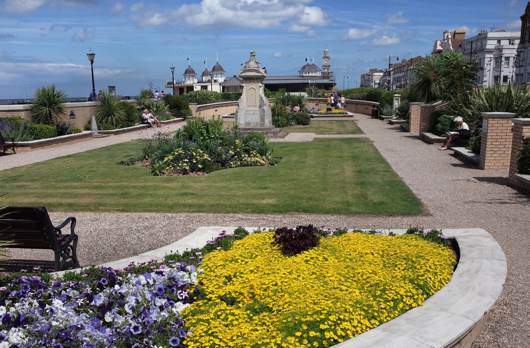
Herne Bay Waltrop Gardens 2014 |
Alan McFaden |
Monday 13th of October 2014 10:23:00 AM |

Herne Bay Pier 2014 |
Alan McFaden |
Monday 13th of October 2014 10:22:29 AM |
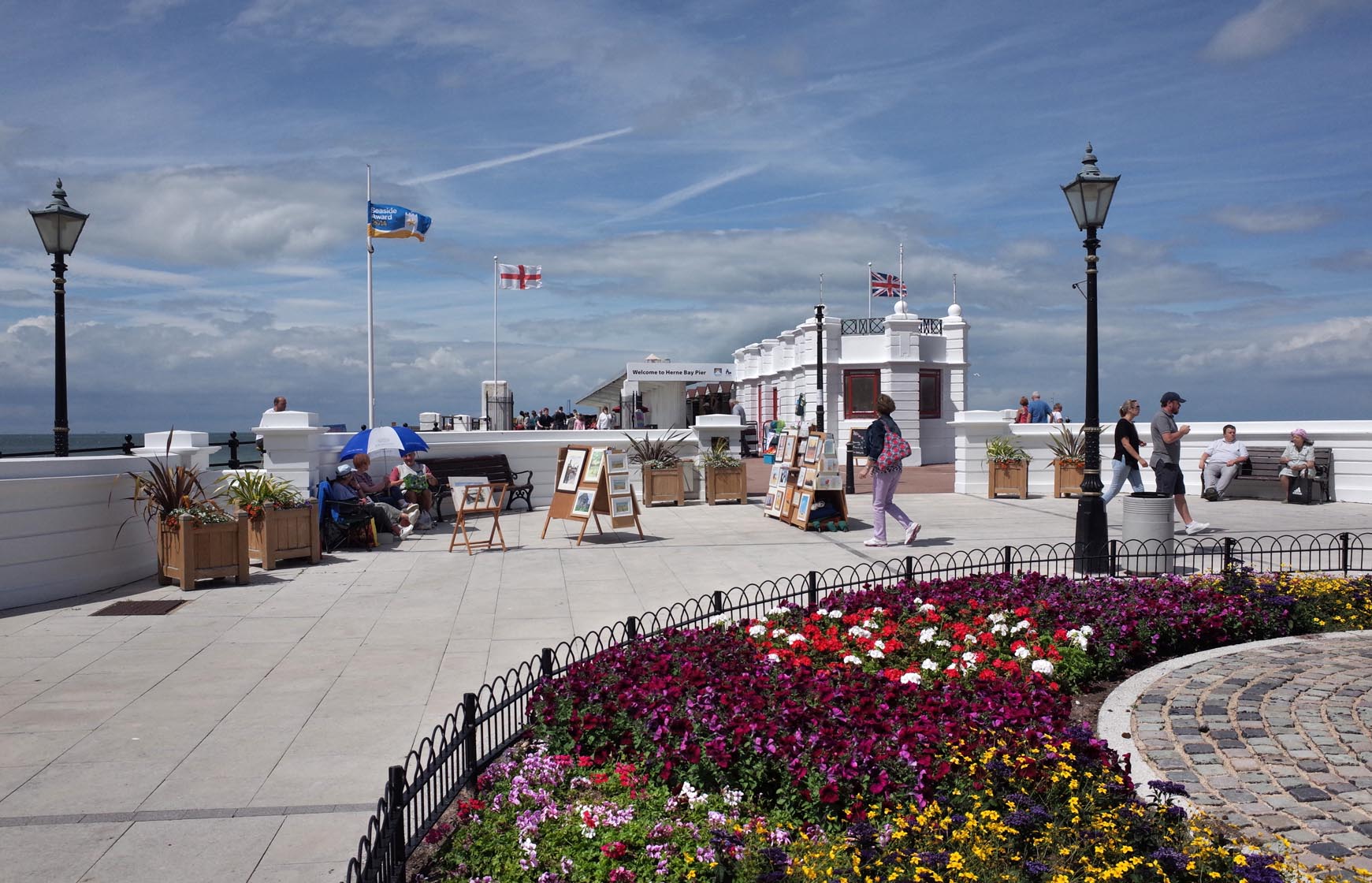
Herne Bay Pier 2014 |
Alan McFaden |
Monday 13th of October 2014 10:22:06 AM |