
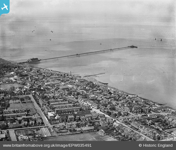
EPW035491 ENGLAND (1931). The town around Mortimer Street and the pier, Herne Bay, from the south-east, 1931
© Copyright OpenStreetMap contributors and licensed by the OpenStreetMap Foundation. 2026. Cartography is licensed as CC BY-SA.
Nearby Images (6)
EPW035491

EPW035496

EPW054045

EPW000147

EPW035498

EPW035492

Details
| Title | [EPW035491] The town around Mortimer Street and the pier, Herne Bay, from the south-east, 1931 |
| Reference | EPW035491 |
| Date | May-1931 |
| Link | |
| Place name | HERNE BAY |
| Parish | |
| District | |
| Country | ENGLAND |
| Easting / Northing | 618140, 168240 |
| Longitude / Latitude | 1.1344393354225, 51.370750371343 |
| National Grid Reference | TR181682 |
Pins
Be the first to add a comment to this image!
User Comment Contributions
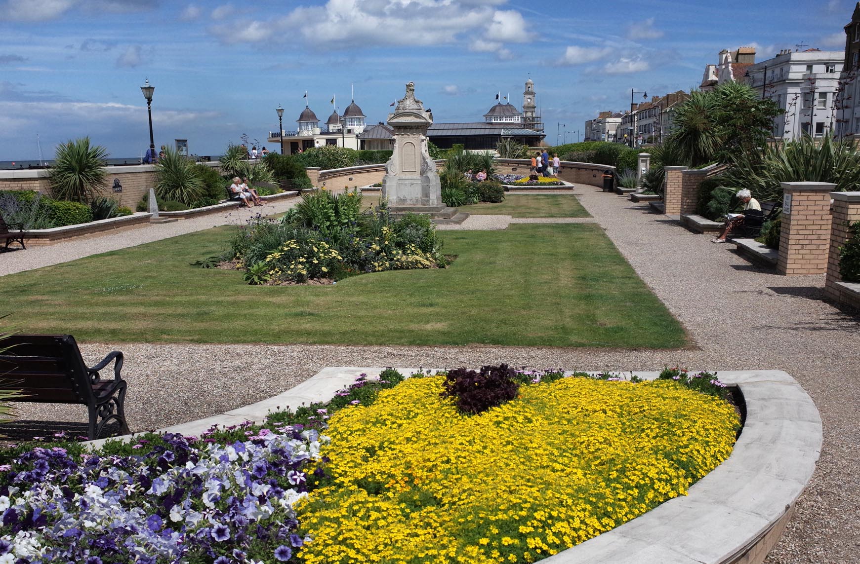
Herne Bay Waltrop Gardens 2014 |

Alan McFaden |
Monday 13th of October 2014 10:18:56 AM |

Herne Bay Pier 2014 |
Alan McFaden |
Monday 13th of October 2014 10:18:16 AM |

View from the Pier 2014 |
Alan McFaden |
Monday 13th of October 2014 10:17:50 AM |
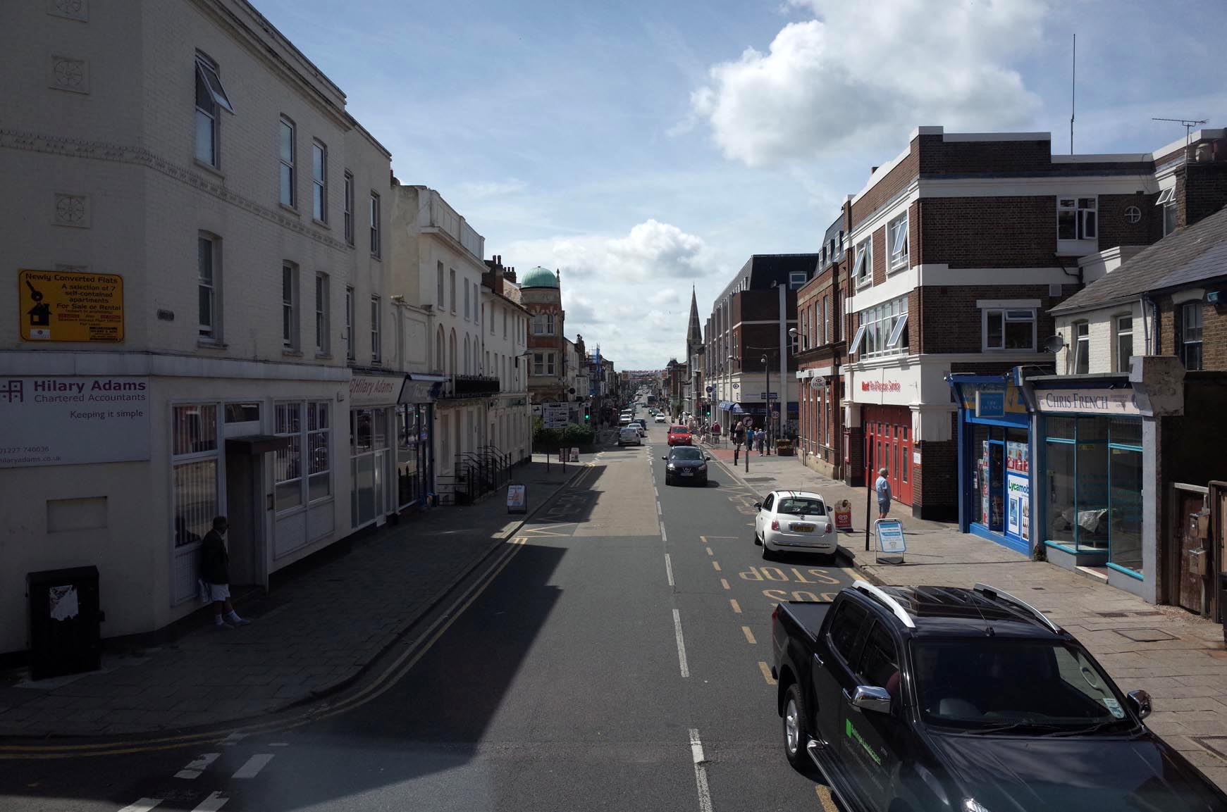
Herne Bay High Street 2014 |
Alan McFaden |
Monday 13th of October 2014 10:17:26 AM |

Herne Bay Seafront 2014 |
Alan McFaden |
Monday 13th of October 2014 10:16:59 AM |

Herne Bay Pier 2014 |
Alan McFaden |
Monday 13th of October 2014 10:16:27 AM |