
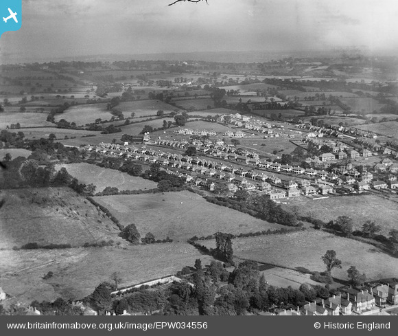
EPW034556 ENGLAND (1930). New housing around Green Lane, Edgware, from the south-east, 1930
© Copyright OpenStreetMap contributors and licensed by the OpenStreetMap Foundation. 2026. Cartography is licensed as CC BY-SA.
Nearby Images (10)
EPW034556

EPW034550

EPW034619

EPW034551

EPW061138

EPW034547

EPW034548

EPW034549

EPW008003

EPW034624

Details
| Title | [EPW034556] New housing around Green Lane, Edgware, from the south-east, 1930 |
| Reference | EPW034556 |
| Date | August-1930 |
| Link | |
| Place name | EDGWARE |
| Parish | |
| District | |
| Country | ENGLAND |
| Easting / Northing | 519026, 192227 |
| Longitude / Latitude | -0.28065866414581, 51.615799102681 |
| National Grid Reference | TQ190922 |
Pins
Be the first to add a comment to this image!