
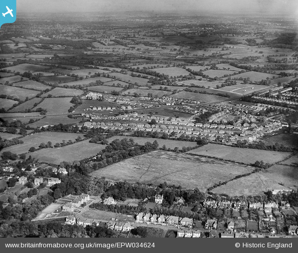
EPW034624 ENGLAND (1930). Housing development around Green Lane, Edgware, from the south-west, 1930
© Copyright OpenStreetMap contributors and licensed by the OpenStreetMap Foundation. 2026. Cartography is licensed as CC BY-SA.
Nearby Images (7)
EPW034624

EPW034549

EPW034551

EPW034619

EPW034550

EPW034556

EPW034617

Details
| Title | [EPW034624] Housing development around Green Lane, Edgware, from the south-west, 1930 |
| Reference | EPW034624 |
| Date | 16-October-1930 |
| Link | |
| Place name | EDGWARE |
| Parish | |
| District | |
| Country | ENGLAND |
| Easting / Northing | 518800, 192369 |
| Longitude / Latitude | -0.28387352563147, 51.617123191185 |
| National Grid Reference | TQ188924 |
Pins

Luas |
Wednesday 12th of November 2014 02:16:52 PM | |
|
Luas |
Wednesday 12th of November 2014 02:11:29 PM | |

Class31 |
Wednesday 7th of August 2013 11:39:49 PM | |
|
Class31 |
Wednesday 7th of August 2013 11:39:11 PM | |
|
Class31 |
Wednesday 7th of August 2013 11:36:58 PM | |
|
Class31 |
Wednesday 7th of August 2013 11:36:09 PM | |
|
Class31 |
Wednesday 7th of August 2013 11:35:11 PM |