
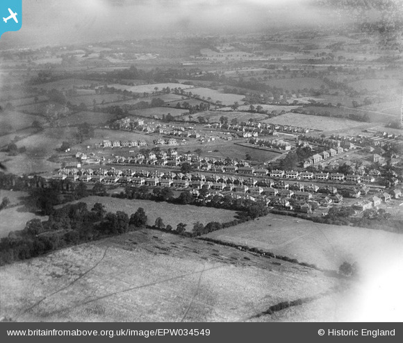
EPW034549 ENGLAND (1930). New housing around Green Lane, Edgware, from the south-west, 1930
© Copyright OpenStreetMap contributors and licensed by the OpenStreetMap Foundation. 2026. Cartography is licensed as CC BY-SA.
Nearby Images (7)
EPW034549

EPW034551

EPW034624

EPW034619

EPW034550

EPW034556

EPW008003

Details
| Title | [EPW034549] New housing around Green Lane, Edgware, from the south-west, 1930 |
| Reference | EPW034549 |
| Date | August-1930 |
| Link | |
| Place name | EDGWARE |
| Parish | |
| District | |
| Country | ENGLAND |
| Easting / Northing | 518913, 192403 |
| Longitude / Latitude | -0.2822304322777, 51.617404927423 |
| National Grid Reference | TQ189924 |
Pins

Brian |
Sunday 21st of February 2016 11:21:05 PM | |

Class31 |
Tuesday 30th of July 2013 10:59:26 AM | |
|
Class31 |
Tuesday 30th of July 2013 10:57:10 AM | |
|
Class31 |
Tuesday 30th of July 2013 10:56:28 AM | |
|
Class31 |
Tuesday 30th of July 2013 10:54:37 AM |