
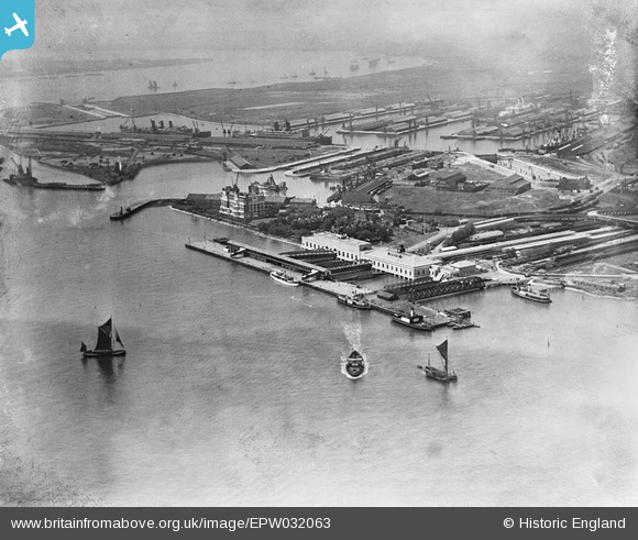
EPW032063 ENGLAND (1930). Tilbury Docks, Tilbury Fort (later Tilbury Riverside) railway station and environs, Tilbury, 1930
© Copyright OpenStreetMap contributors and licensed by the OpenStreetMap Foundation. 2026. Cartography is licensed as CC BY-SA.
Nearby Images (20)
EPW032063
 railway station and environs, Tilbury, 1930")
EAW014601

EPW044224

EPW032065
 railway station and environs, Tilbury, 1930")
EPW044227

EPW032061
 railway station and environs, Tilbury, 1930")
EAW014599

EPW024911

EPW044216

EAW014598

EPW032062
 railway station and environs, Tilbury, from the south, 1930")
EPW032060
 railway station and environs, Tilbury, 1930")
EPW044217

EAW014600

EAW028721

EPW044219

EPW044226

EPW044223

EPW032064
 railway station and environs, Tilbury, 1930")
EPW044225

Details
| Title | [EPW032063] Tilbury Docks, Tilbury Fort (later Tilbury Riverside) railway station and environs, Tilbury, 1930 |
| Reference | EPW032063 |
| Date | May-1930 |
| Link | |
| Place name | TILBURY |
| Parish | |
| District | |
| Country | ENGLAND |
| Easting / Northing | 564343, 175109 |
| Longitude / Latitude | 0.36544027083496, 51.45059222051 |
| National Grid Reference | TQ643751 |
Pins

sloyne |
Wednesday 21st of February 2024 07:01:53 PM | |
|
BigglesH |
Thursday 11th of April 2013 10:02:02 PM | |
|
BigglesH |
Thursday 11th of April 2013 09:37:42 PM | |
|
BigglesH |
Thursday 11th of April 2013 09:33:41 PM | |

Onthecoast |
Monday 3rd of December 2012 01:08:44 PM | |
Destroyed by German bombs in 1944. |
BigglesH |
Thursday 11th of April 2013 10:07:45 PM |