
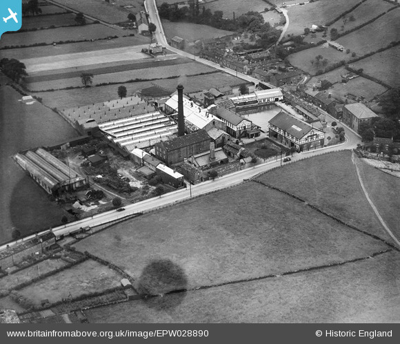
EPW028890 ENGLAND (1929). Springfield Worsted Mill and Bagley Lane, Farsley Beck Bottom, 1929
© Copyright OpenStreetMap contributors and licensed by the OpenStreetMap Foundation. 2026. Cartography is licensed as CC BY-SA.
Nearby Images (11)
EPW028890

EPW028889

EPW028893

EPW028894

EPW028895

EPW028892

EPW028891

EPW055890

EPW028896

EPW028901

EPW028899

Details
| Title | [EPW028890] Springfield Worsted Mill and Bagley Lane, Farsley Beck Bottom, 1929 |
| Reference | EPW028890 |
| Date | August-1929 |
| Link | |
| Place name | FARSLEY BECK BOTTOM |
| Parish | |
| District | |
| Country | ENGLAND |
| Easting / Northing | 422120, 435647 |
| Longitude / Latitude | -1.6639888140646, 53.816420311614 |
| National Grid Reference | SE221356 |
Pins

farsleyflyer |
Saturday 20th of October 2012 08:46:43 AM | |
|
farsleyflyer |
Saturday 20th of October 2012 08:46:08 AM | |
|
farsleyflyer |
Saturday 20th of October 2012 08:45:38 AM |