
EPW025533 ENGLAND (1928). The Shredded Wheat factory, Welwyn Garden City, 1928

© Copyright OpenStreetMap contributors and licensed by the OpenStreetMap Foundation. 2026. Cartography is licensed as CC BY-SA.
Nearby Images (24)
EPW025533

EAW053104

EPW014809

EPW014808

EPW014807

EPW054507

EAW053109

EPW054525

EAW053083

EPW022032

EPW025374

EPW022022

EPW062053

EPW054519

EPW022031

EPW022021

EPW022033

EPW054515

EPW025532

EPW054516

EPW054535

EPW025535

EPW054517

EPW054536

Details
| Title | [EPW025533] The Shredded Wheat factory, Welwyn Garden City, 1928 |
| Reference | EPW025533 |
| Date | November-1928 |
| Link | |
| Place name | WELWYN GARDEN CITY |
| Parish | |
| District | |
| Country | ENGLAND |
| Easting / Northing | 524120, 212932 |
| Longitude / Latitude | -0.1997393631585, 51.800790396651 |
| National Grid Reference | TL241129 |
Pins

Michael |
Sunday 11th of December 2016 01:58:42 PM | |
|
Michael |
Sunday 11th of December 2016 01:57:43 PM | |
|
Michael |
Sunday 11th of December 2016 01:57:19 PM | |

BfA events |
Wednesday 20th of March 2013 11:57:02 AM | |
|
BfA events |
Wednesday 20th of March 2013 11:24:01 AM |
User Comment Contributions
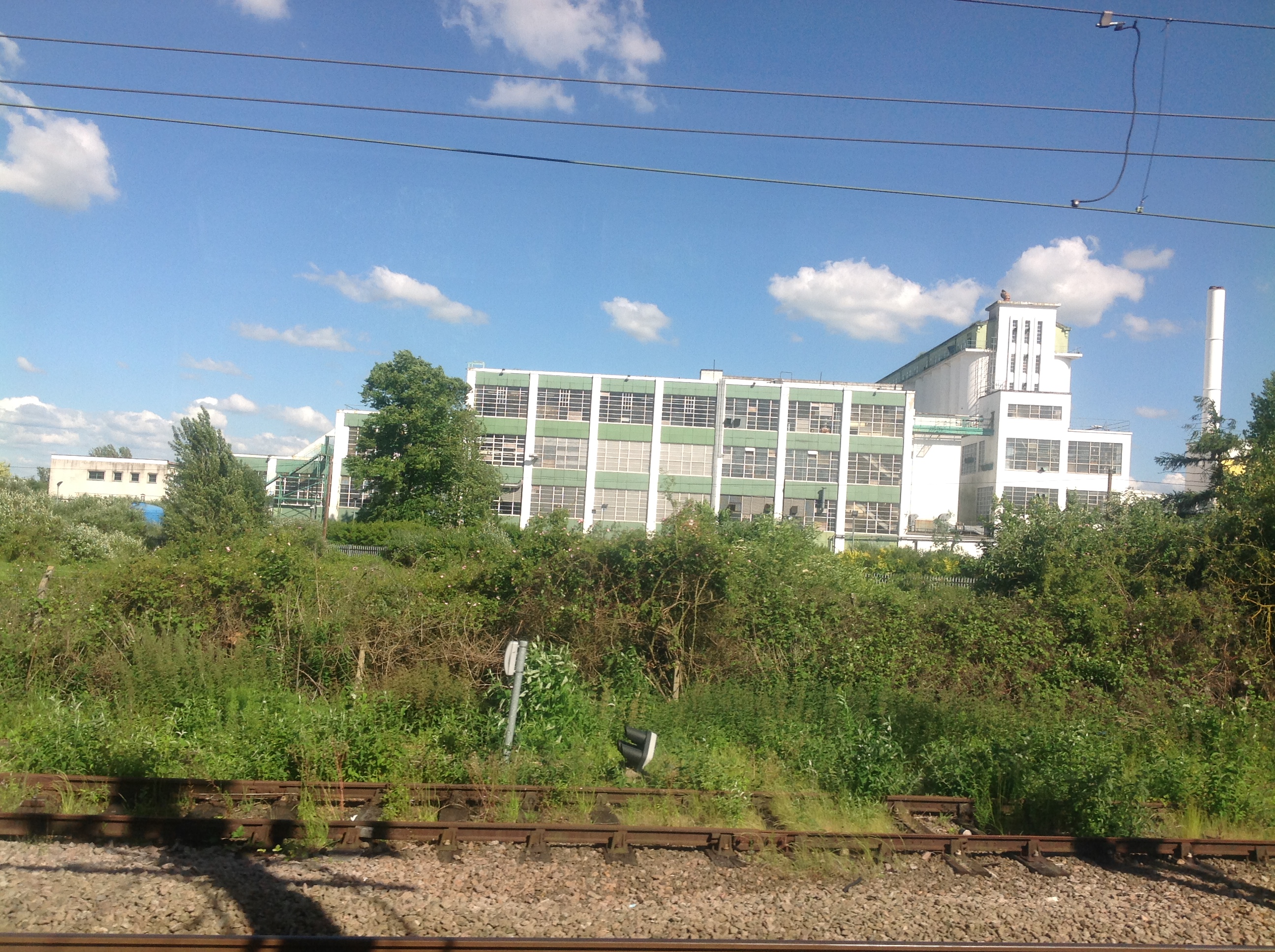
The Shredded Wheat Factory from a train, Welwyn Garden City, 10/06/2014 |

Class31 |
Wednesday 11th of June 2014 04:44:06 PM |