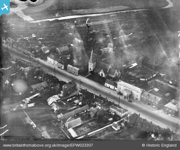
EPW023307 ENGLAND (1928). St Peter's Church and the High Street, Stockbridge, 1928
© Copyright OpenStreetMap contributors and licensed by the OpenStreetMap Foundation. 2026. Cartography is licensed as CC BY-SA.
Nearby Images (5)
EPW023307

EPW033726

EPW023308

EPW033725

EPW033728

Details
| Title | [EPW023307] St Peter's Church and the High Street, Stockbridge, 1928 |
| Reference | EPW023307 |
| Date | September-1928 |
| Link | |
| Place name | STOCKBRIDGE |
| Parish | STOCKBRIDGE |
| District | |
| Country | ENGLAND |
| Easting / Northing | 435546, 135133 |
| Longitude / Latitude | -1.492133377597, 51.113856715208 |
| National Grid Reference | SU355351 |