
EPW023308 ENGLAND (1928). The High Street and town, Stockbridge, 1928

© Copyright OpenStreetMap contributors and licensed by the OpenStreetMap Foundation. 2026. Cartography is licensed as CC BY-SA.
Nearby Images (4)
EPW023308

EPW033726

EPW023307

EPW033725

Details
| Title | [EPW023308] The High Street and town, Stockbridge, 1928 |
| Reference | EPW023308 |
| Date | September-1928 |
| Link | |
| Place name | STOCKBRIDGE |
| Parish | STOCKBRIDGE |
| District | |
| Country | ENGLAND |
| Easting / Northing | 435620, 135078 |
| Longitude / Latitude | -1.4910815736675, 51.113357517786 |
| National Grid Reference | SU356351 |
Pins
 |

Class31 |
Wednesday 30th of October 2013 10:07:28 AM |
This was a plaque to commemorate Queen Victories 60 years on the throne in 1897, installed by the house owner CB Fry, my Son-in-laws Great Granddad. |

comicool |
Monday 13th of July 2015 09:31:32 PM |
|
Brian |
Tuesday 3rd of July 2012 09:15:41 PM |
User Comment Contributions

This was a plaque to commemorate Queen Victories 60 years on the throne in 1897, installed by the house owner CB Fry, my Son-in-laws Great Granddad. |
comicool |
Monday 13th of July 2015 09:34:23 PM |

Stockbridge Town Hall on 22/09/2013 |
Class31 |
Wednesday 30th of October 2013 09:45:58 AM |
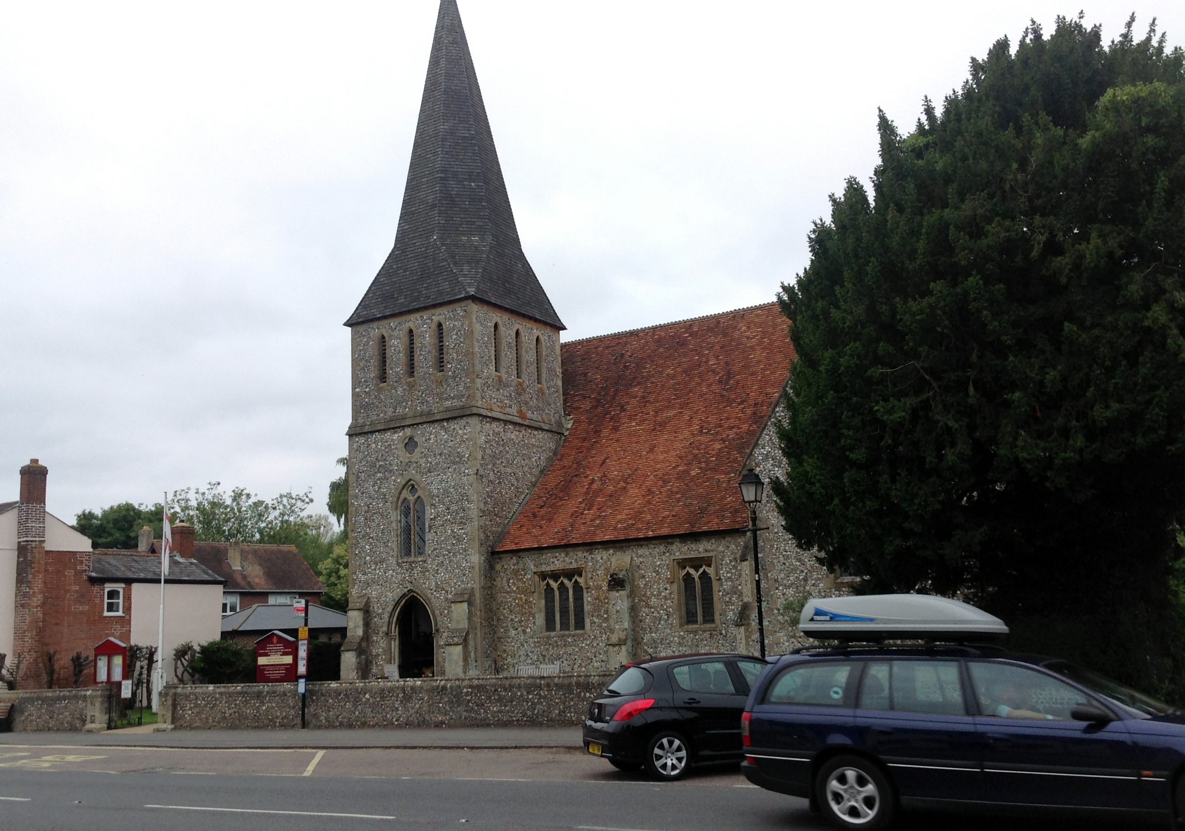
St. Peter's Church |
Class31 |
Wednesday 30th of October 2013 09:23:08 AM |
Looking west. |
Class31 |
Wednesday 30th of October 2013 09:21:15 AM |

Stockbridge Station (Andover to Romsey line)also known as Sprat and Winkle line |
Brian |
Tuesday 3rd of July 2012 09:17:47 PM |