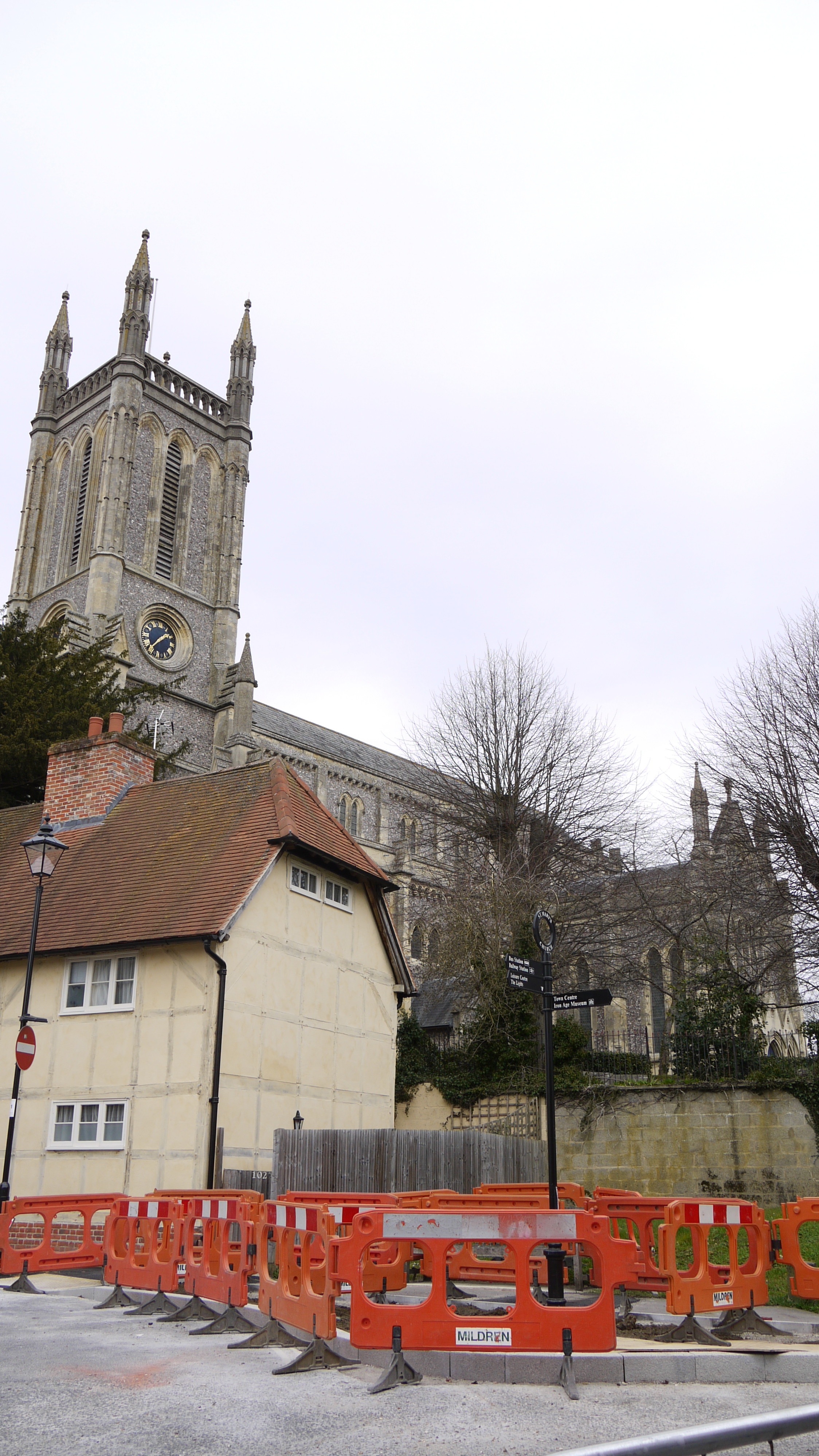
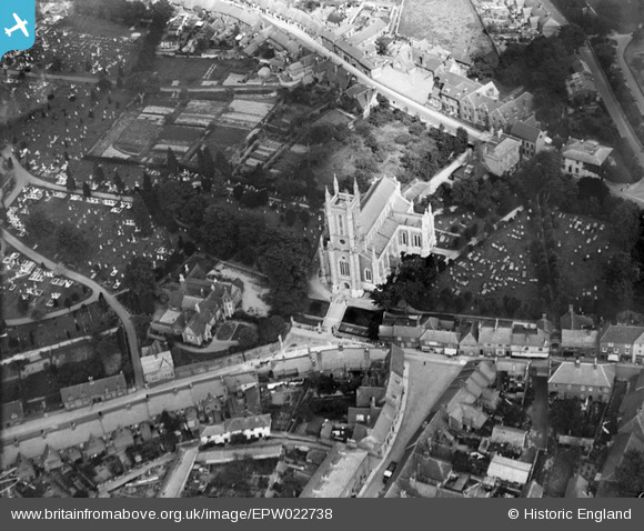
EPW022738 ENGLAND (1928). St Mary's Church, Andover, 1928
© Copyright OpenStreetMap contributors and licensed by the OpenStreetMap Foundation. 2026. Cartography is licensed as CC BY-SA.
Nearby Images (9)
EPW022738

EPW022745

EPW022736

EPW023295

EPW023297

EPW023298

EPW011129

EPW011128

EPW011123

Details
| Title | [EPW022738] St Mary's Church, Andover, 1928 |
| Reference | EPW022738 |
| Date | August-1928 |
| Link | |
| Place name | ANDOVER |
| Parish | ANDOVER |
| District | |
| Country | ENGLAND |
| Easting / Northing | 436506, 145792 |
| Longitude / Latitude | -1.4773358116468, 51.209649040439 |
| National Grid Reference | SU365458 |