
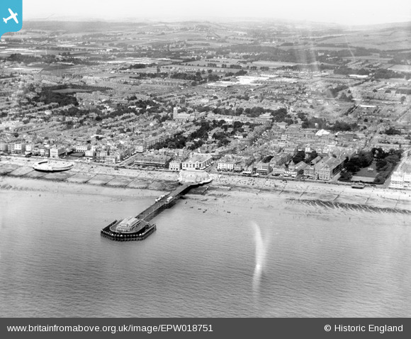
EPW018751 ENGLAND (1927). The pier, bandstand and town, Worthing, from the south-east, 1927
© Copyright OpenStreetMap contributors and licensed by the OpenStreetMap Foundation. 2026. Cartography is licensed as CC BY-SA.
Nearby Images (28)
EPW018751

EPW000753

EPW011524

EPW039494

EAW022243

EAW022242

EAW022745

EAW022746

EAW022244

EPW011535

EPW017739

EPW042995

EAW053163

EPW017738

EPW017741

EPW042998

EPW039495

EPW017740

EPW018750

EPW054071

EPW018752

EAW022245
 and the town, Worthing, from the south, 1949")
EPW000725

EPW011532

EPW000749

EPW042996

EPW000719

EPW017742

Details
| Title | [EPW018751] The pier, bandstand and town, Worthing, from the south-east, 1927 |
| Reference | EPW018751 |
| Date | July-1927 |
| Link | |
| Place name | WORTHING |
| Parish | |
| District | |
| Country | ENGLAND |
| Easting / Northing | 515064, 102222 |
| Longitude / Latitude | -0.36674711254085, 50.807547584098 |
| National Grid Reference | TQ151022 |
Pins

Stephen Mirrington |
Tuesday 24th of August 2021 01:22:50 PM | |
|
Stephen Mirrington |
Tuesday 24th of August 2021 01:21:10 PM | |
|
Stephen Mirrington |
Tuesday 24th of August 2021 01:19:00 PM | |

Alan McFaden |
Wednesday 1st of January 2014 10:52:42 PM | |
|
Alan McFaden |
Wednesday 1st of January 2014 03:42:36 PM | |
|
Alan McFaden |
Wednesday 4th of December 2013 06:15:34 PM | |
|
Alan McFaden |
Wednesday 4th of December 2013 06:15:07 PM | |
|
Alan McFaden |
Wednesday 4th of December 2013 06:14:36 PM | |
|
Alan McFaden |
Wednesday 4th of December 2013 06:14:07 PM |


