
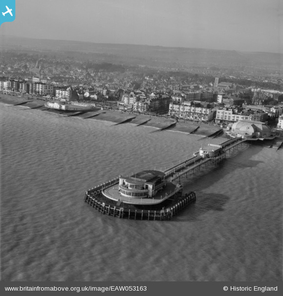
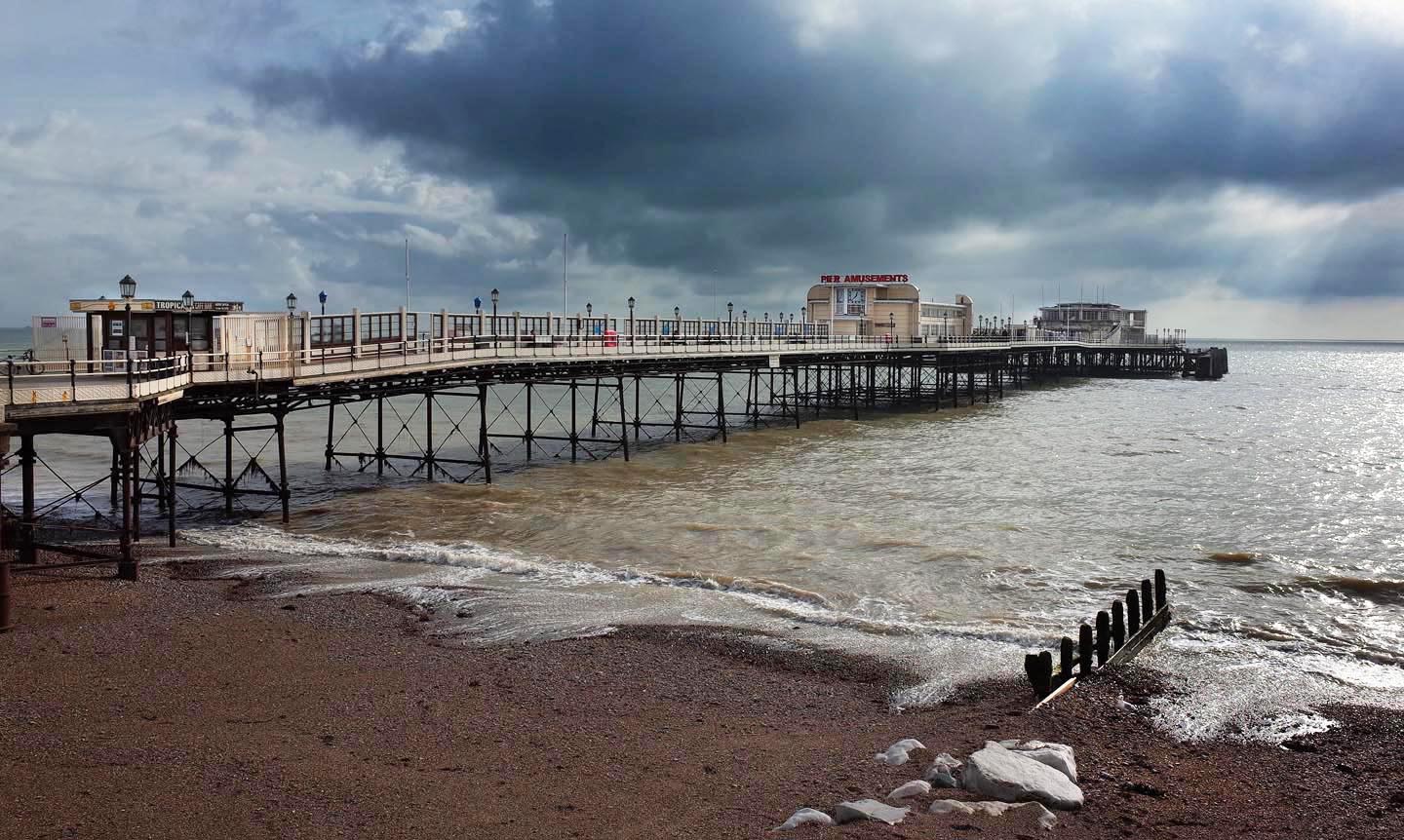
EAW053163 ENGLAND (1954). The pier and the town, Worthing, from the south-east, 1954
© Copyright OpenStreetMap contributors and licensed by the OpenStreetMap Foundation. 2026. Cartography is licensed as CC BY-SA.
Nearby Images (25)
EAW053163

EPW042995

EPW042998

EPW011535

EAW022242

EPW017740

EAW022745

EAW022244

EPW039495

EPW018750

EPW017738

EPW011524

EPW018751

EPW000753

EPW000749

EAW022243

EPW039494

EAW022746

EPW017739

EPW017741

EAW022748

EAW022245
 and the town, Worthing, from the south, 1949")
EPW018752

EAW053164

EPW000725

Details
| Title | [EAW053163] The pier and the town, Worthing, from the south-east, 1954 |
| Reference | EAW053163 |
| Date | 20-February-1954 |
| Link | |
| Place name | WORTHING |
| Parish | |
| District | |
| Country | ENGLAND |
| Easting / Northing | 515032, 102085 |
| Longitude / Latitude | -0.36724407457336, 50.806322321556 |
| National Grid Reference | TQ150021 |
Pins

Alan McFaden |
Sunday 2nd of November 2014 10:57:41 AM | |
|
Alan McFaden |
Sunday 2nd of November 2014 10:53:59 AM |


User Comment Contributions
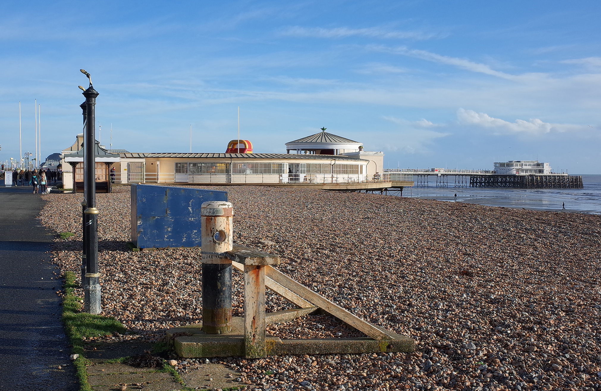
Worthing lido and Pier |
Alan McFaden |
Sunday 2nd of November 2014 10:58:53 AM |
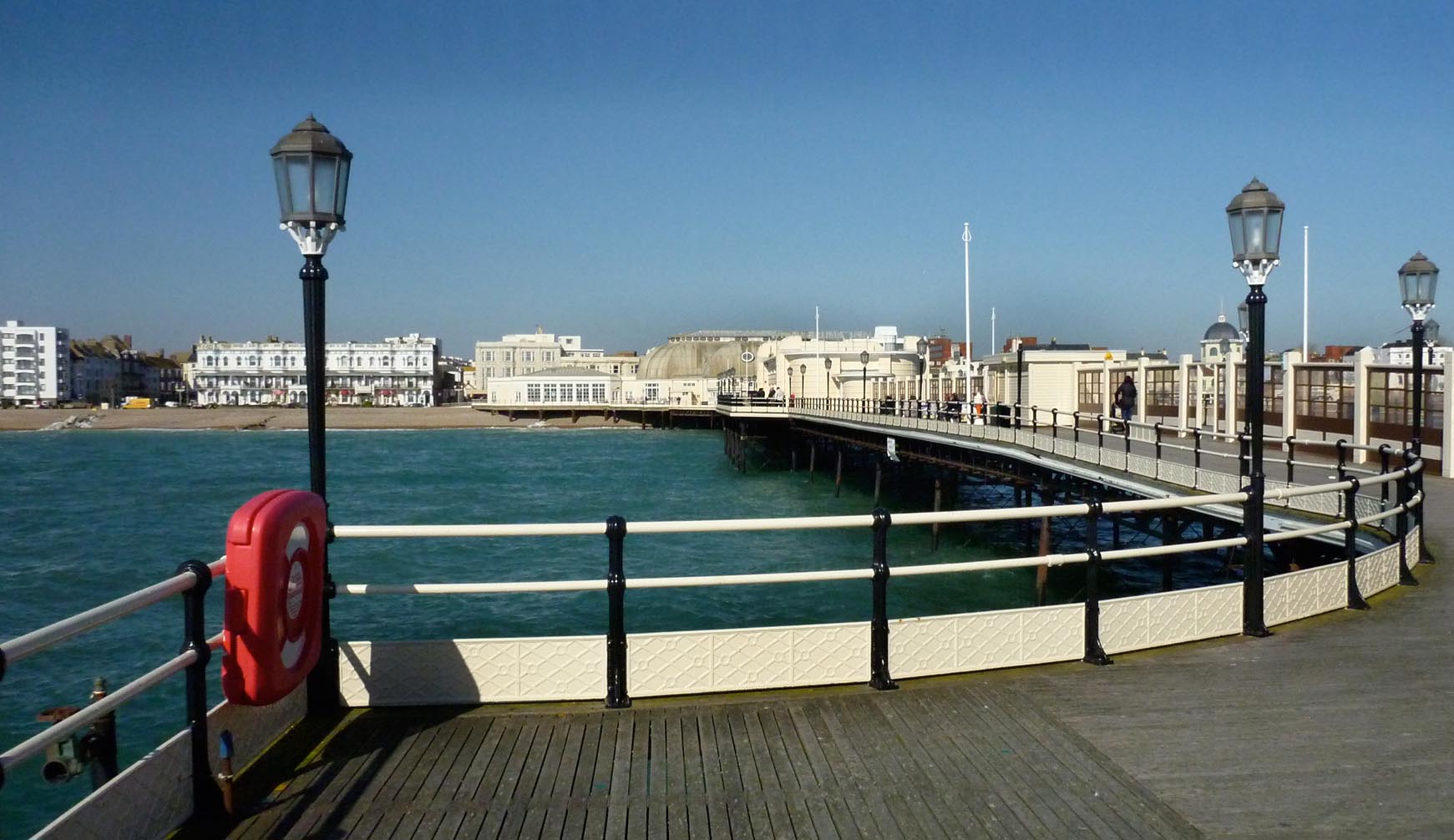
On Worthing Pier |
Alan McFaden |
Sunday 2nd of November 2014 10:55:47 AM |
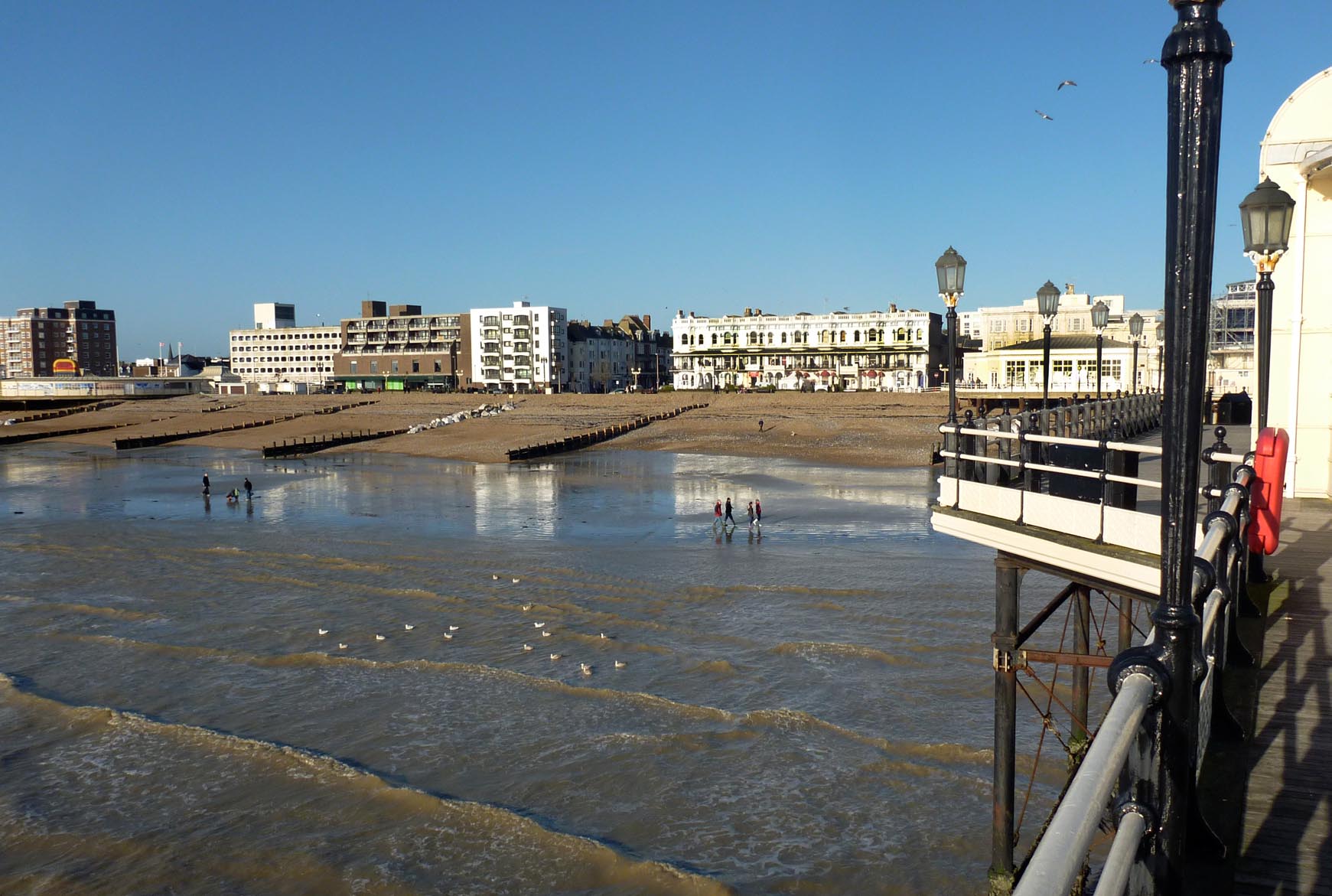
View West from Worthing Pier |
Alan McFaden |
Sunday 2nd of November 2014 10:55:21 AM |
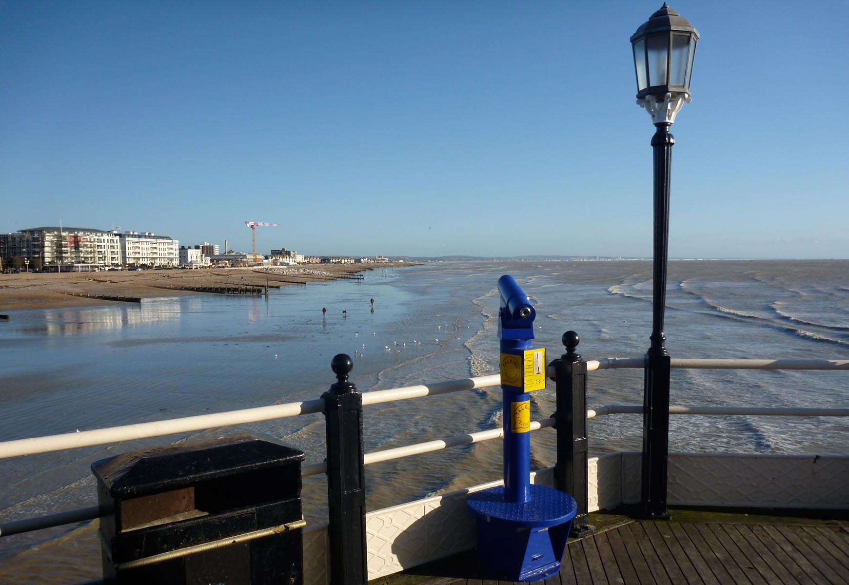
View East from Worthing Pier |
Alan McFaden |
Sunday 2nd of November 2014 10:54:45 AM |
Worthing Pier |
Alan McFaden |
Sunday 2nd of November 2014 10:52:54 AM |