
EPW000719 ENGLAND (1920). South Street and the pier, Worthing, 1920. This image has been produced from a copy negative.

© Copyright OpenStreetMap contributors and licensed by the OpenStreetMap Foundation. 2026. Cartography is licensed as CC BY-SA.
Nearby Images (21)
EPW000719

EPW054071

EPW000764

EPW000615

EPW011532

EPW017741

EPW017739

EPW039494

EPW000725

EPW016903

EPW042996

EPW018752

EPW039493

EAW022245
 and the town, Worthing, from the south, 1949")
EAW053164

EPW000753

EAW022243

EPW018751

EAW022746

EAW053165

EPW017743

Details
| Title | [EPW000719] South Street and the pier, Worthing, 1920. This image has been produced from a copy negative. |
| Reference | EPW000719 |
| Date | April-1920 |
| Link | |
| Place name | WORTHING |
| Parish | |
| District | |
| Country | ENGLAND |
| Easting / Northing | 514943, 102471 |
| Longitude / Latitude | -0.36838588466013, 50.809810100528 |
| National Grid Reference | TQ149025 |
Pins

Alan McFaden |
Wednesday 8th of October 2014 09:32:37 AM | |
|
Alan McFaden |
Wednesday 8th of October 2014 09:32:03 AM |


User Comment Contributions
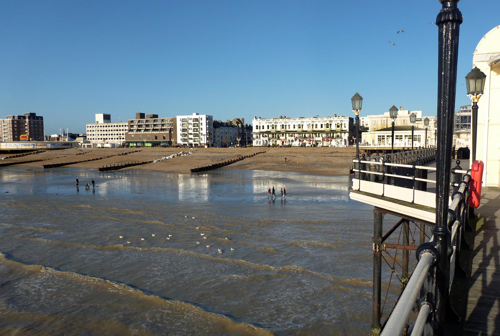
View East from the Pier |
Alan McFaden |
Wednesday 8th of October 2014 09:33:52 AM |
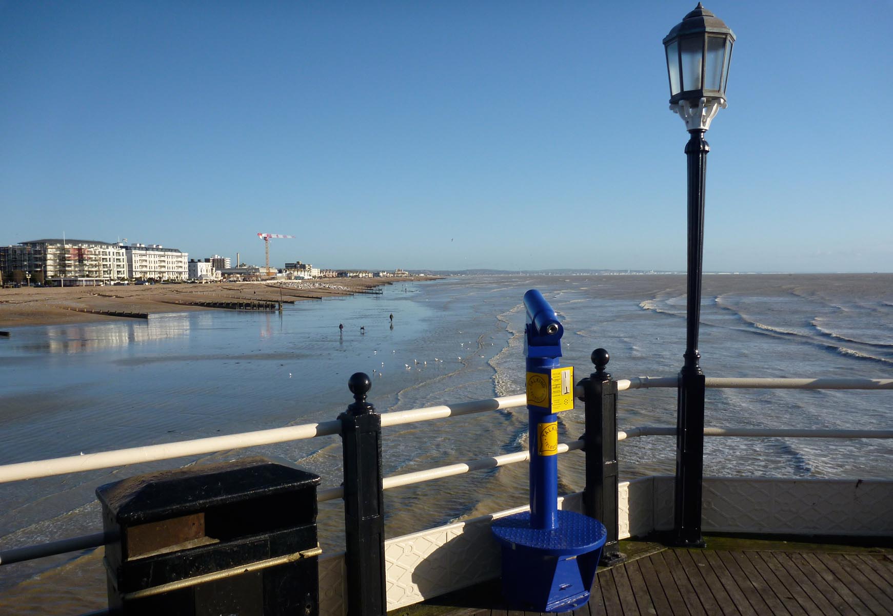
View West from the Pier |
Alan McFaden |
Wednesday 8th of October 2014 09:33:17 AM |