
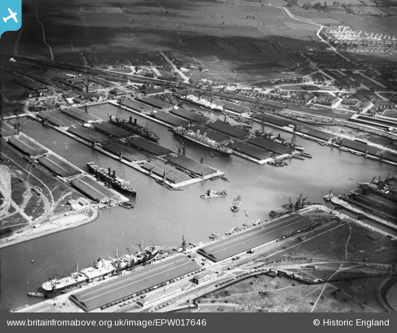
EPW017646 ENGLAND (1927). The Docks, Tilbury, 1927
© Copyright OpenStreetMap contributors and licensed by the OpenStreetMap Foundation. 2026. Cartography is licensed as CC BY-SA.
Nearby Images (28)
EPW017646

EPW032810

EPW018636

EPW001398

EPW044220

EAW028812

EPW018637

EPW032807

EPW032812

EPW006261

EPW001396

EPW032804

EPW032811

EPW044211

EAW028808

EPW032808

EPW032802

EPW032809

EAW028813

EAW028810

EAW028809

EPW001397

EPR000362

EAW020324

EPW044221

EAW042098

EPR000361

EAW002338

Details
| Title | [EPW017646] The Docks, Tilbury, 1927 |
| Reference | EPW017646 |
| Date | April-1927 |
| Link | |
| Place name | TILBURY |
| Parish | |
| District | |
| Country | ENGLAND |
| Easting / Northing | 563583, 175762 |
| Longitude / Latitude | 0.3548133179117, 51.456679504479 |
| National Grid Reference | TQ636758 |
Pins

cambria |
Friday 23rd of July 2021 03:08:17 PM | |
|
MB |
Thursday 20th of September 2012 11:23:28 AM | |
|
BigglesH |
Tuesday 17th of July 2012 12:19:24 AM | |
|
BigglesH |
Tuesday 17th of July 2012 12:17:04 AM | |
Bucket dredger |
MB |
Thursday 20th of September 2012 11:24:16 AM |
|
BigglesH |
Tuesday 17th of July 2012 12:15:22 AM | |
Pub's name was "The Ship". |
BigglesH |
Wednesday 25th of July 2012 04:13:37 PM |
|
BigglesH |
Tuesday 17th of July 2012 12:11:09 AM | |
|
BigglesH |
Tuesday 17th of July 2012 12:09:02 AM | |
|
BigglesH |
Tuesday 17th of July 2012 12:05:59 AM | |
|
BigglesH |
Tuesday 17th of July 2012 12:03:59 AM | |
|
BigglesH |
Tuesday 17th of July 2012 12:01:46 AM | |
|
BigglesH |
Tuesday 17th of July 2012 12:00:05 AM |