
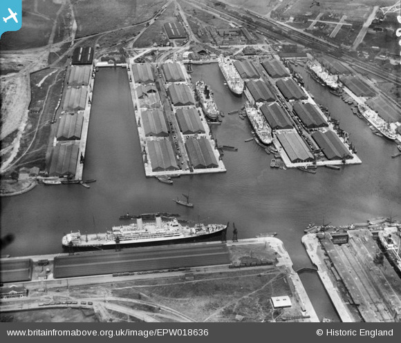
EPW018636 ENGLAND (1927). The Docks, Tilbury, 1927
© Copyright OpenStreetMap contributors and licensed by the OpenStreetMap Foundation. 2026. Cartography is licensed as CC BY-SA.
Nearby Images (26)
EPW018636

EPW032810

EPW017646

EPW006261

EPW001398

EPW044211

EAW028812

EPW044220

EAW028813

EPW032812

EPW032807

EPW032809

EAW028810

EPW018637

EAW028809

EAW028808

EPW032804

EPW032811

EPW001396

EPR000362

EPW032808

EPW044215

EAW042098

EPW032802

EPW044221

EAW028811

Details
| Title | [EPW018636] The Docks, Tilbury, 1927 |
| Reference | EPW018636 |
| Date | 22-June-1927 |
| Link | |
| Place name | TILBURY |
| Parish | |
| District | |
| Country | ENGLAND |
| Easting / Northing | 563556, 175703 |
| Longitude / Latitude | 0.35439771251564, 51.456157192965 |
| National Grid Reference | TQ636757 |
Pins

Chelmerfella |
Monday 14th of October 2013 08:49:19 PM | |
|
MB |
Thursday 20th of September 2012 11:26:15 AM | |
|
BigglesH |
Thursday 19th of July 2012 03:29:52 AM | |
|
BigglesH |
Thursday 19th of July 2012 03:28:37 AM |